
The road trip between Las Vegas and Los Angeles is a quintessential American journey. Spanning roughly 270 miles, this route serves as a transition between the neon-lit deserts of Nevada and the sprawling, sun-drenched coastline of California. While the map might suggest a quick sprint, the reality of the drive is governed by traffic patterns, chosen routes, and the irresistible allure of desert landmarks.
Understanding Driving Times and Traffic Dynamics
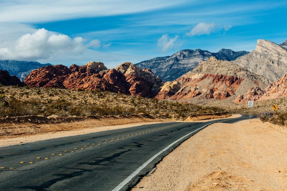
On a perfect day, with zero congestion and optimal weather, the drive between these two major hubs typically takes between four and five hours. However, travelers must account for the notorious traffic patterns that define Southern California infrastructure.
The Impact of Peak Travel Times
The most significant factor influencing your travel time is the day and hour of your departure. Leaving Las Vegas on a Friday afternoon or returning to Los Angeles on a Sunday evening often results in gridlock. During these peak periods, the journey can easily stretch to seven or eight hours. The bottleneck often begins as you approach San Bernardino and Riverside, where the flow of traffic converges from multiple desert arteries into the dense urban sprawl of the Inland Empire.
Navigating the Construction Zones
Roadwork on Interstate 15 is a common occurrence. Long-term infrastructure projects aimed at improving capacity often result in lane closures or reduced speed zones. Savvy travelers utilize real-time traffic monitoring apps to keep an eye on these segments. Even a minor accident on this stretch can create a ripple effect, causing significant delays that compound the longer you remain on the highway.
Strategic Routes and Essential Stops
While the standard route remains the most direct, the journey offers several opportunities to turn a mundane transit into a memorable experience. Breaking up the drive is often recommended, especially during the sweltering summer months.
The Mojave National Preserve Detour
For those looking to trade highway fatigue for scenery, the Mojave National Preserve offers a rugged escape. Located roughly halfway through the trip, this vast desert landscape features towering sand dunes and Joshua trees. Taking a short detour off the main highway allows for a brief leg stretch amidst one of the most unique ecosystems in North America.
Iconic Roadside Attractions
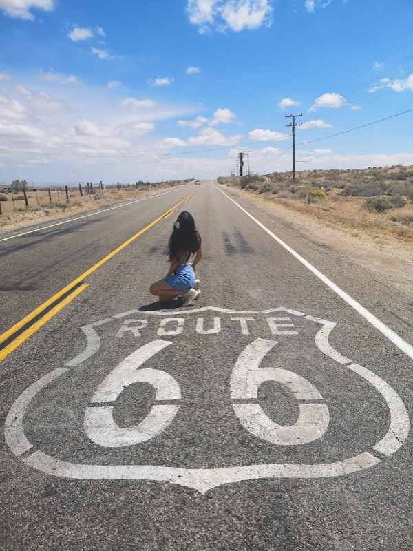
The route is famous for its kitschy, quintessential Americana. A stop in Baker is almost mandatory for many drivers, primarily to see the World’s Tallest Thermometer. Further along the route, Barstow serves as a classic pit stop, offering a variety of fast-food options and shopping outlets for those looking to stretch their legs before entering the final leg of the drive toward the Pacific Ocean.
Tips for a Seamless Desert Journey
Preparing for the transition from the high desert of Nevada to the coastal climate of California requires a bit of logistical planning. Whether you are driving a rental car or your own vehicle, the conditions demand respect.
Vehicle Readiness and Climate Considerations
Extreme temperature fluctuations are common. You may start in the dry heat of Henderson and end in the temperate coastal breezes of Santa Monica. Ensuring your vehicle’s cooling system and tire pressure are checked before departure is essential. During the summer, carry extra water, as the Mojave Desert can reach triple-digit temperatures, and mechanical failure in such an environment can quickly become a serious safety concern.
Optimizing Your Departure
To minimize the time spent in traffic, consider traveling during off-peak windows. Mid-week departures—specifically Tuesday or Wednesday—are statistically the fastest. Furthermore, leaving either city before 7:00 AM or after 7:00 PM helps avoid the worst of the commuter traffic that plagues the Los Angeles basin.
Exploring Beyond the Interstate
If you have additional time and want to avoid the highway monotony, there are scenic alternatives, though they significantly increase the duration of the trip.
The Path Less Traveled
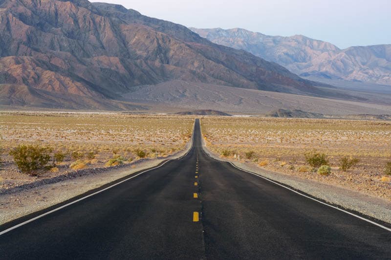
Some adventurous souls opt to veer off toward Death Valley National Park or Joshua Tree National Park. These detours transform a simple drive into a multi-day road trip. If your goal is strictly to get from Las Vegas to Los Angeles, these routes are not efficient, but they provide a profound look at the dramatic geological history of the Western United States.
Arrival and Orientation
As you approach the Los Angeles Basin, the terrain changes from scrub brush to paved canyons of steel and glass. Depending on your final destination—whether it is the luxury of Beverly Hills or the vibrant piers of Venice Beach—be prepared for the transition to urban freeway driving. Navigation apps are highly recommended here, as the complexity of the Southern California interchange system can be daunting for those accustomed to the simpler road layouts of Las Vegas.
Ultimately, the drive is what you make of it. While it can be a chore during peak traffic, it remains a vital artery connecting the entertainment capital of the world with the cultural and economic powerhouse of the west coast. By planning ahead, respecting the desert environment, and keeping an eye on traffic reports, you can successfully navigate the Interstate 15 corridor and reach your destination with ease.
LifeOutOfTheBox is a participant in the Amazon Services LLC Associates Program, an affiliate advertising program designed to provide a means for sites to earn advertising fees by advertising and linking to Amazon.com. Amazon, the Amazon logo, AmazonSupply, and the AmazonSupply logo are trademarks of Amazon.com, Inc. or its affiliates. As an Amazon Associate we earn affiliate commissions from qualifying purchases.