
The question of “How Far From Baltimore To New York?” is a common one for travelers considering a journey between two of the Mid-Atlantic’s most vibrant cities. While seemingly straightforward, the distance can be interpreted in several ways, influencing your choice of transportation, travel time, and overall experience. This guide aims to demystify the mileage, explore the various transit options, and help you plan your trip seamlessly from the Inner Harbor of Baltimore to the bustling avenues of New York City.
The Direct Distance: Mileage and Maps
Understanding the sheer expanse between these two metropolises is the first step in planning your travel. The direct distance, as the crow flies, offers a baseline, but practical travel involves navigating roadways and rail lines.
Straight-Line Distance
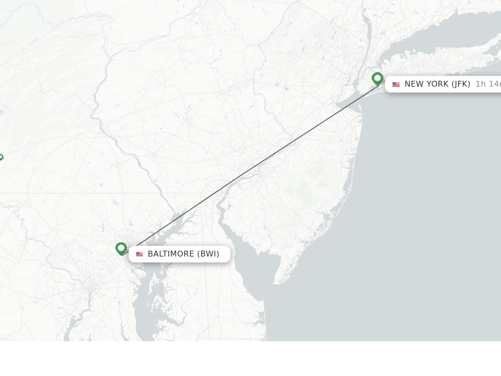
The approximate straight-line distance, or “as the crow flies,” between Baltimore and New York City is about 170 miles (approximately 274 kilometers). This figure is useful for geographical context but doesn’t account for the routes people actually take. It highlights the relative proximity of these two major hubs within the Northeastern United States.
Road Distance and Route Variations
The most common way to travel between Baltimore and New York City by land is by car. The actual driving distance can vary slightly depending on the specific route taken and the starting and ending points within each city.
-
Primary Route (I-95 North): The most direct and frequently used highway route involves taking Interstate 95 North. This major artery connects the two cities, passing through states like Maryland, Delaware, New Jersey, and into New York. The typical driving distance via this route hovers around 190 to 200 miles (approximately 305 to 322 kilometers). Factors like traffic congestion, particularly around Philadelphia and the approaches to New York City, can significantly impact travel time.
-
Alternative Routes: While less common for direct travel, alternative routes might be chosen for scenic purposes or to avoid specific traffic bottlenecks. These could involve utilizing U.S. Routes and state highways, which often add to the mileage and travel time but can offer a different perspective of the landscape. However, for efficiency, I-95 remains the go-to for most drivers.
The choice of route will directly influence the time spent in transit. Planning your departure to avoid peak commuting hours in both cities is crucial for a smoother journey.
Travel Time Estimates Across Different Modes
The distance translates into varying travel times depending on whether you choose to drive, take a train, or fly. Each mode offers a unique balance of cost, convenience, and speed.
Driving Time
As mentioned, the driving time between Baltimore and New York City is highly variable. Under ideal conditions with minimal traffic, the journey can take approximately 3 to 3.5 hours. However, it’s prudent to budget at least 4 to 5 hours, and sometimes more, especially if traveling during rush hour, holidays, or periods of heavy construction. Factors such as weather conditions can also play a significant role. Drivers should also factor in time for rest stops and potential tolls along the way.
Train Travel: Amtrak’s Corridor Service
For many travelers, the train offers a relaxing and efficient alternative to driving. Amtrak’s Northeast Corridor service provides frequent departures between Baltimore Penn Station and New York Penn Station.
- Acela Express: This high-speed train is the quickest option, with some services completing the journey in as little as 1 hour and 45 minutes to 2 hours. It offers a premium experience with enhanced amenities.
- Northeast Regional: The more common and often more affordable option, the Northeast Regional, typically takes between 2 hours and 30 minutes to 3 hours and 15 minutes. These trains make more stops than the Acela but still offer a comfortable and productive travel environment.
The advantage of train travel is its ability to bypass road congestion, and the stations are conveniently located in the heart of both cities, often near major attractions and hotels.
Flying: A Less Direct, But Potential Option
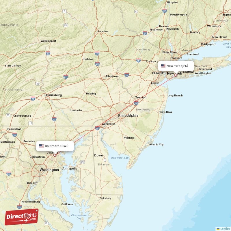
While not the most practical or time-efficient method for this particular route, flying is technically an option. The distance between Baltimore/Washington International Thurgood Marshall Airport (BWI) and the various airports serving New York City (such as LaGuardia Airport, John F. Kennedy International Airport, and Newark Liberty International Airport) is very short.
However, when factoring in travel time to and from airports, security procedures, boarding, the flight itself, and baggage claim, the total door-to-door time can often exceed that of driving or taking the train. Direct flights, if available, are around 45 minutes to 1 hour. However, the added complexities often make it a less appealing choice for this specific intercity connection.
Planning Your Journey: Considerations and Tips
Successfully navigating the distance between Baltimore and New York City involves more than just knowing the mileage. It requires strategic planning to optimize your travel experience.
Choosing the Right Transportation
The best mode of transport hinges on your priorities.
-
For Efficiency and Comfort: Amtrak’s Acela Express or Northeast Regional trains are excellent choices. They offer speed, comfort, and direct access to city centers, allowing you to relax or work during your journey. Booking tickets in advance can often secure better fares.
-
For Flexibility and Group Travel: Driving provides the most flexibility, allowing you to depart on your own schedule and make stops along the way. It can also be more cost-effective for families or groups traveling together. However, be prepared for potential traffic delays and the cost of tolls and parking in New York City.
-
For Budget-Conscious Travelers: Buses also operate between Baltimore and New York City. Companies like Megabus and Greyhound offer affordable fares, though travel times are generally longer than with Amtrak or driving.
Navigating Traffic and Tolls
If you opt to drive, understanding the traffic patterns is essential. The stretch of I-95 through New Jersey and the approaches to New York City are notorious for congestion. Utilizing real-time traffic apps like Google Maps or Waze can help you reroute if necessary. Be prepared for several tolls, especially as you cross into New Jersey and approach New York. E-ZPass is widely accepted and can expedite passage through toll plazas.
Destination Arrival and City Navigation
Once you reach New York City, remember that driving and parking can be challenging and expensive. If you drive, consider parking garages outside of Manhattan’s core or utilizing public transportation once you’ve arrived. If you take the train, you’ll arrive at Penn Station, a central hub from which you can easily access New York City’s extensive subway and bus system, or use taxis and rideshares to reach your final destination, whether it’s a hotel in Times Square, a business meeting in the Financial District, or a cultural experience near Central Park.
By understanding the various distances and travel times, and by choosing the transportation method that best suits your needs, your journey from Baltimore to New York City can be a smooth and enjoyable prelude to exploring the wonders each city has to offer.
LifeOutOfTheBox is a participant in the Amazon Services LLC Associates Program, an affiliate advertising program designed to provide a means for sites to earn advertising fees by advertising and linking to Amazon.com. Amazon, the Amazon logo, AmazonSupply, and the AmazonSupply logo are trademarks of Amazon.com, Inc. or its affiliates. As an Amazon Associate we earn affiliate commissions from qualifying purchases.