
A Tapestry of Landscapes and Natural Wonders
To understand what Alabama looks like is to embark on a journey through a diverse and captivating geographical tapestry. From the rolling foothills of the Appalachian Mountains to the shimmering shores of the Gulf Coast, the state presents a rich and varied natural beauty that has shaped its history, culture, and economy. Alabama’s landscapes are not merely backdrops; they are active participants in the narrative of the state, offering a dynamic range of experiences for those who explore its contours.
The Mountainous North
The northern reaches of Alabama are defined by the southern end of the Appalachian Mountains. Here, the landscape is characterized by rugged terrain, deep valleys, and forested peaks. The Cumberland Plateau extends into this region, providing a dramatic and picturesque setting. State parks like Cheaha State Park, home to Mount Cheaha, the highest point in Alabama, offer breathtaking vistas and opportunities for hiking, camping, and enjoying the crisp mountain air. The geological formations in this area are a testament to millions of years of erosion and uplift, creating a landscape that is both ancient and ever-evolving. Rivers and streams carve through the mountains, feeding into larger waterways that have historically been crucial for transportation and settlement. The forests, a mix of deciduous and coniferous trees, provide a vibrant display of color in the fall and a lush green canopy in the summer. This region feels wild and untamed, a stark contrast to the more developed areas of the state.
The Piedmont and Coastal Plain
Moving south, the terrain gradually transitions into the Piedmont region and then the vast Coastal Plain. The Piedmont is characterized by rolling hills and fertile valleys, historically significant for agriculture, particularly cotton cultivation. This landscape is softer and more undulating than the mountains, yet still retains a sense of natural beauty with its open fields and scattered woodlands. As one progresses further south, the Coastal Plain emerges, marked by flatter terrain, extensive pine forests, and numerous swamps and wetlands. The Black Belt region, known for its incredibly fertile dark soil, is a prominent feature of the Coastal Plain and has played a pivotal role in the state’s agricultural history. This area, while historically known for its cotton production, also boasts unique ecological systems. The landscape here is often dotted with farms and interspersed with dense forests and meandering rivers.
River Systems and Wetlands
Alabama is crisscrossed by a significant network of rivers and waterways, including the Tennessee River, the Coosa River, the Tallapoosa River, the Alabama River, and the Tombigbee River. These rivers have been arteries of commerce and life since the earliest settlements and continue to define the state’s geography. They create fertile floodplains, support diverse aquatic life, and offer recreational opportunities like fishing, boating, and kayaking.
Beyond the major rivers, Alabama is also home to extensive wetland areas. The Mobile-Tensaw Delta, one of the largest river deltas in the United States, is a complex ecosystem of swamps, marshes, and bayous. This area is a biodiversity hotspot, supporting a vast array of plant and animal species, including numerous migratory birds. The dense vegetation, slow-moving water, and the constant interplay of fresh and saltwater create a unique and captivating environment that is both ecologically vital and visually striking. Exploring these wetlands offers a glimpse into a wilder side of Alabama, a place of profound natural beauty and ecological significance.
Coastal Alabama: The Gulf’s Gentle Embrace
The southeastern corner of Alabama meets the Gulf of Mexico, presenting a distinct and alluring landscape. Here, the state boasts approximately 53 miles of sandy coastline, dotted with barrier islands and inlets. The beaches are characterized by soft, white sand, often composed of pure quartz, which remains cool even on the hottest days. The gentle, clear waters of the gulf provide a refreshing contrast to the inland heat.
Beaches and Barrier Islands
Iconic coastal destinations like Gulf Shores and Orange Beach draw visitors with their pristine beaches, emerald waters, and a relaxed coastal atmosphere. The coastline is dynamic, shaped by the ebb and flow of tides and the occasional force of hurricanes, which have significantly influenced the development and appearance of this region. The nearby barrier islands, such as Dauphin Island, offer a more natural and undeveloped experience, serving as vital habitats for wildlife, particularly during migratory seasons. These islands act as natural buffers, protecting the mainland from the direct impact of storms, and their shifting sands are a constant reminder of nature’s power.
Estuaries and Bays
In addition to the open coastline, Alabama’s coastal region is defined by its intricate network of bays, estuaries, and marshes. Mobile Bay, a large and ecologically rich estuary, is a central feature. It supports thriving populations of marine life, including oysters, shrimp, and various fish species, making it a cornerstone of the local economy and culinary scene. The estuarine environment is a transition zone where freshwater from rivers mixes with saltwater from the gulf, creating a unique brackish water habitat that is highly productive and diverse. The sight of egrets wading in the shallows, dolphins playing in the bay, and pelicans soaring overhead is a common and cherished aspect of the coastal landscape. The presence of the Gulf State Park further preserves a significant portion of this coastal environment, offering visitors opportunities to experience its natural beauty through trails, fishing piers, and educational programs.
Urban Centers: Where Nature Meets Development
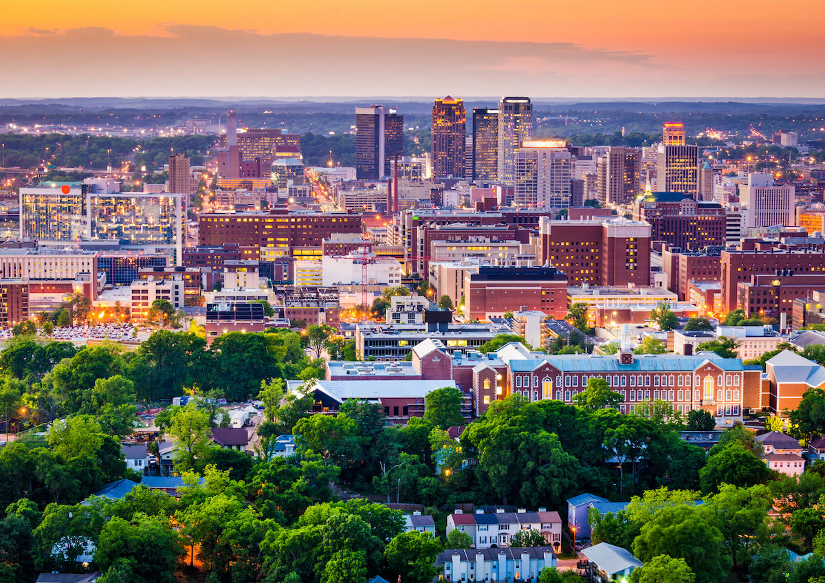
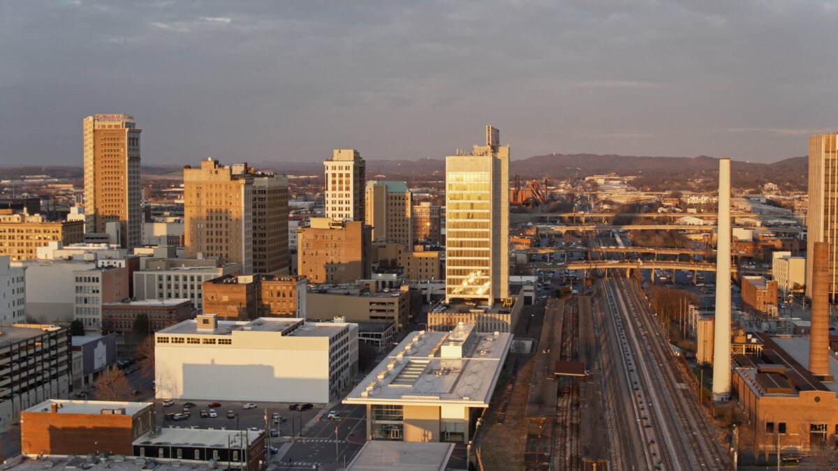
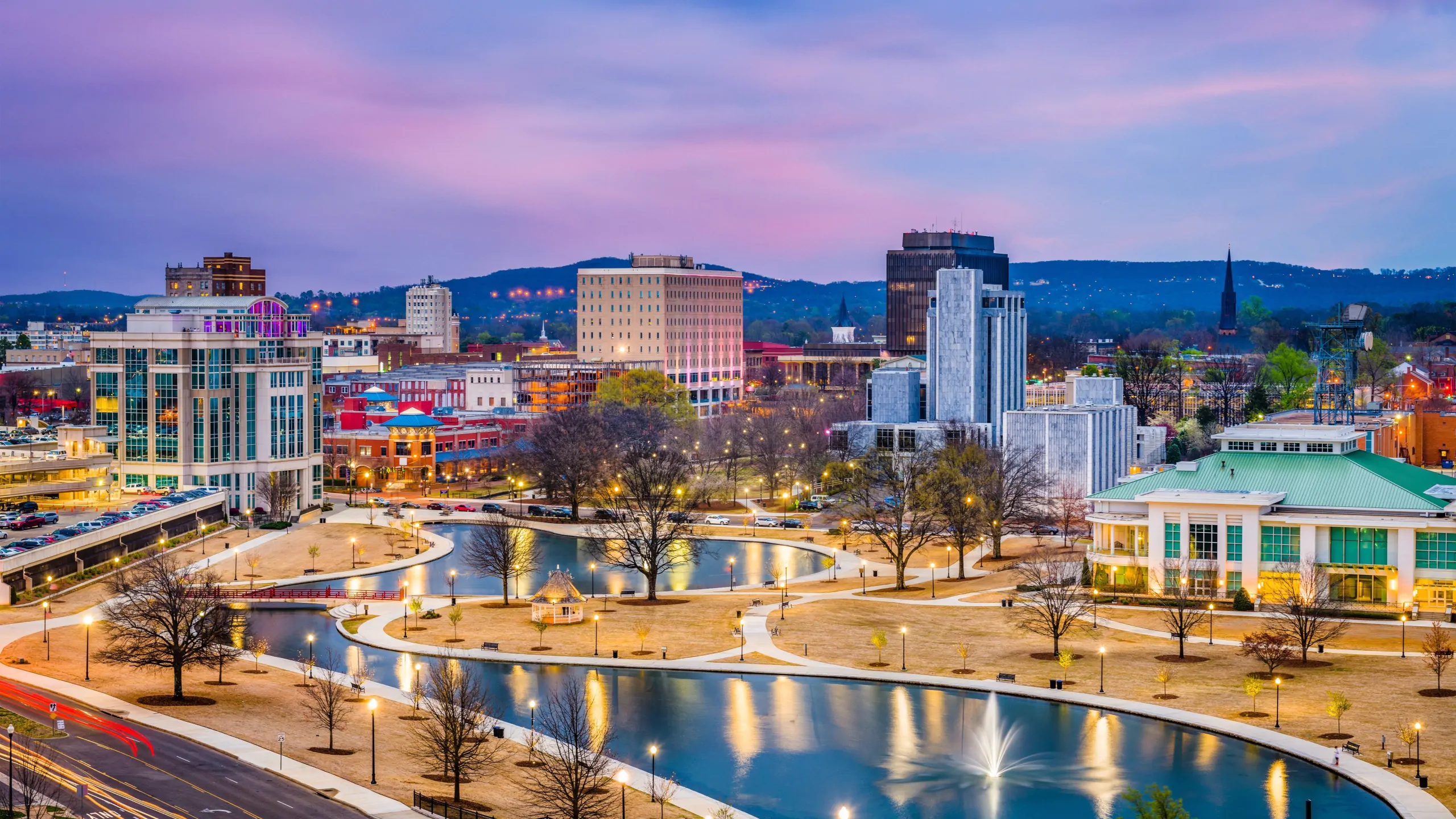
While Alabama is rich in natural beauty, its urban centers are where the state’s development and its natural surroundings often intersect. Cities like Birmingham, Montgomery, and Mobile showcase a blend of architectural styles, from historic structures to modern skyscrapers, often set against a backdrop of rolling hills or proximity to waterways.
Birmingham’s Hills and Revitalization
Birmingham, often called the “Magic City,” is nestled in a valley surrounded by the Red Mountain range. This unique topography influences the city’s layout, with distinct neighborhoods spread across different elevations. The presence of iron ore deposits historically shaped the city’s industrial identity, and remnants of this past are still visible, though much of the landscape has been transformed through urban renewal and the growth of green spaces. Parks like Ruffner Mountain Nature Preserve offer a surprising escape into nature within the city limits, providing hiking trails and panoramic views of the urban sprawl below.
Montgomery’s Riverfront and History
Montgomery, the state capital, is situated on the banks of the Alabama River. The riverfront has undergone significant revitalization, transforming from a historical transportation hub into a vibrant area with parks, museums, and recreational facilities. The landscape of Montgomery is characterized by its historic architecture, tree-lined streets, and the gentle flow of the river, reflecting its deep connection to the state’s history and development.
Mobile’s Maritime Heritage and Bayfront
Mobile, Alabama’s only saltwater port, is deeply connected to its maritime heritage and its position on Mobile Bay. The city’s landscape is defined by its historic districts, with charming antebellum homes and tree-canopied streets, juxtaposed with the bustling port and the expansive views of the bay. The proximity to water shapes daily life and influences the city’s aesthetic, from its historic waterfront to its modern bayfront developments. The USS Alabama Battleship Memorial Park stands as a prominent landmark, a testament to the city’s military and maritime significance.
A Spectrum of Climates and Ecosystems
The diverse geography of Alabama supports a range of climates and ecosystems, each contributing to the state’s overall appearance and character. The climate is generally humid subtropical, with hot, humid summers and mild winters. This predictable pattern of weather allows for lush vegetation and a long growing season.
Forests and Flora
Forests cover a significant portion of Alabama, ranging from the dense pine forests of the Coastal Plain to the mixed hardwood and pine forests of the northern regions. These woodlands are home to a rich variety of flora, including dogwoods, magnolias, oaks, and pines. The state’s diverse plant life contributes to its vibrant seasonal colors, from the spring wildflowers to the fiery hues of autumn.
Wildlife Habitats
The varied landscapes provide crucial habitats for a wide array of wildlife. The wetlands are teeming with birdlife, amphibians, and reptiles. The forests support mammals such as white-tailed deer, black bears, and various smaller creatures. The rivers and the Gulf Coast are home to diverse aquatic species. This biodiversity is an integral part of what Alabama looks like, offering opportunities for wildlife viewing and contributing to the state’s natural heritage. From the soaring bald eagles along the coast to the elusive bobcats in the inland forests, the presence of wildlife adds a dynamic and living dimension to the state’s visual landscape.
LifeOutOfTheBox is a participant in the Amazon Services LLC Associates Program, an affiliate advertising program designed to provide a means for sites to earn advertising fees by advertising and linking to Amazon.com. Amazon, the Amazon logo, AmazonSupply, and the AmazonSupply logo are trademarks of Amazon.com, Inc. or its affiliates. As an Amazon Associate we earn affiliate commissions from qualifying purchases.