
Navigating the expansive highways of Florida is often a dream for road trippers, offering views of swaying palms and easy access to some of the world’s most famous beaches. However, for those currently behind the wheel on I-75 North, the dream can occasionally turn into a test of patience. As one of the primary north-south arteries in the United States, this interstate is a critical lifeline for travelers moving from the southern tip of the Sunshine State all the way through the Midwest. Understanding why traffic might be at a standstill today requires a look at the unique geographical, seasonal, and infrastructural challenges that define this major travel corridor.

The Lifeline of Florida Travel: Understanding I-75 North
The I-75 corridor is more than just a road; it is a gateway to diverse experiences. Starting near Miami and cutting across the state through Alligator Alley, it turns northward to parallel the coast of the Gulf of Mexico. For many tourists, this route is the preferred path to reach the cultural hubs of Naples, the artistic streets of Sarasota, and the bustling metropolitan energy of Tampa.
Because it serves as the main exit route for residents and visitors heading toward Georgia and beyond, any disruption on I-75 North can ripple across the state’s entire transportation network. Travelers often find themselves stopped near major interchanges, such as where the interstate meets I-4 in the Tampa Bay area, a notorious bottleneck for those heading toward Orlando and Walt Disney World Resort.
The Significance of the Route
The northern stretch of I-75 is particularly vital for those visiting the inland wonders of Florida. As the road climbs through Ocala and into Gainesville, the landscape shifts from coastal plains to rolling hills and horse farms. This transition area is a favorite for travelers seeking a different side of the state, away from the crowded shorelines. However, the high volume of passenger vehicles mixed with heavy freight trucks makes this segment highly sensitive to traffic fluctuations.
Common Causes of Gridlock on the I-75 Corridor
When you find yourself staring at a sea of brake lights on I-75 North, the cause usually falls into one of several distinct categories. Recognizing these can help travelers better manage their expectations and adjust their itineraries.
Infrastructure and Ongoing Construction
Florida is one of the fastest-growing states in the country, and its infrastructure is constantly racing to keep up. The Florida Department of Transportation frequently manages large-scale widening projects and bridge repairs along the northern corridor. Between Wildwood and Lake City, lane closures are a common occurrence. These projects are essential for the long-term viability of Florida travel, but in the short term, they create significant pinch points where three lanes suddenly merge into two.
Seasonal Surges and “Snowbird” Migration
The timing of your trip heavily influences the traffic density. During the winter months, Florida welcomes a massive influx of seasonal residents, colloquially known as snowbirds. This demographic typically travels in large recreational vehicles or pulls trailers, which occupy more space and move at slower speeds. Additionally, peak vacation periods like Spring Break and the summer holidays bring families from across the South and Midwest, flooding I-75 North with travelers returning home from the Florida Keys or the Gulf Coast.
Weather-Related Incidents
The weather in Florida is as beautiful as it is unpredictable. Sudden afternoon thunderstorms, common in the humid summer months, can reduce visibility to near zero in seconds. These “whiteout” rain conditions often lead to minor fender-benders or major multi-vehicle accidents that bring I-75 North to a complete halt. Furthermore, during the hurricane season, this interstate serves as a primary evacuation route, where traffic volume can exceed the road’s capacity by several hundred percent.
Navigating Through Major Florida Cities and Landmarks
As you travel north, specific geographic points often act as magnets for congestion. Understanding these locations helps in planning pit stops or choosing when to bypass the main highway.
The Tampa and Brandenton Chokepoint
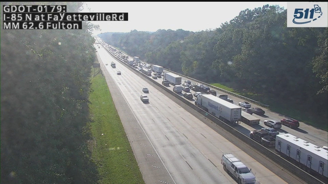
The journey through Bradenton and Tampa is often the most congested part of I-75 North. This area is a major hub for tourism and commerce. Travelers heading north from Fort Myers or Sarasota must navigate the merging traffic from the Sunshine Skyway Bridge and the local commuters of St Petersburg. On any given day, a simple stall on the Howard Frankland Bridge or an incident near Busch Gardens Tampa Bay can cause backups that extend miles south on I-75.
The Gainesville and University Influence
Further north, the city of Gainesville presents its own unique set of traffic patterns. As the home of the University of Florida, the city sees massive surges of traffic during move-in weekends, graduation ceremonies, and especially during football Saturdays. When the Florida Gators play at home, I-75 North becomes a literal parking lot of fans traveling from South Florida.
Ocala’s Natural Hazards
The stretch through Ocala is world-renowned for its equestrian culture, but for the traveler, it is also known for heavy fog. The proximity to the Ocala National Forest and numerous natural springs, such as Silver Springs State Park, creates a microclimate where morning mist can linger, leading to dangerous driving conditions and subsequent stoppages.
Alternative Routes and Travel Tips for the Modern Road Tripper
If I-75 North is stopped today, the savvy traveler knows that Florida offers several scenic alternatives that can turn a frustrating delay into an unexpected adventure.
Embracing the Scenic Route: U.S. Route 41
Often referred to as the Tamiami Trail in the south, U.S. Route 41 runs nearly parallel to I-75. While it has more traffic lights and lower speed limits, it takes you through the heart of charming towns like Punta Gorda and Venice. If the interstate is blocked by a major incident, jumping over to U.S. Route 41 allows you to keep moving while enjoying a more local perspective of Florida.
Utilizing Technology for Real-Time Updates
In the modern era of travel, information is your best tool. Before departing from Port Charlotte or Fort Myers, checking real-time traffic apps is essential. These platforms can alert you to accidents near the I-75 and Florida’s Turnpike junction before you are stuck in the queue. The Florida Department of Transportation also maintains the FL511 system, which provides live camera feeds and incident reports.
Strategic Timing
One of the best ways to avoid being stopped on I-75 North is to time your transit through major zones. Avoiding Tampa during the morning and afternoon rush hours (7:00 AM – 9:00 AM and 4:00 PM – 6:30 PM) is highly recommended. Similarly, if you are heading toward the Georgia border, try to pass through Lake City before the mid-afternoon rush of long-haul truckers and interstate travelers begins.
Making the Most of Your Journey Despite Delays
Traffic stops are an inherent part of the travel experience, especially on a road as popular as I-75. Instead of viewing a delay as lost time, consider it an opportunity to explore the surrounding areas that many travelers simply zip past.
Discovering Hidden Gems Near the Highway
If the delay looks significant, consider taking an early exit to explore local attractions. Near Gainesville, a short detour leads to Paynes Prairie Preserve State Park, where you can see wild horses and bison. If you are stopped further south near Brooksville, the Withlacoochee State Forest offers miles of peaceful hiking trails and a chance to stretch your legs in a serene environment.
Planning for the Unexpected
Every great road trip requires a bit of flexibility. Keeping a well-stocked vehicle with water, snacks, and a physical map of Florida is a hallmark of an experienced traveler. While we rely on digital maps, knowing the layout of secondary roads like U.S. Route 301 can save hours during major interstate closures.

The Final Stretch to the Border
As you approach the northernmost part of the state, the traffic often eases as the road expands through Hamilton County. Crossing the border into Valdosta, Georgia, marks the end of the Florida segment of I-75. Whether you were delayed by a summer storm, a construction crew near Ocala, or the sheer volume of tourists heading for the Atlantic Ocean or the Gulf of Mexico, the journey is part of the story.
I-75 North is a highway of contrasts—from the swampy depths of the Everglades National Park region to the sophisticated urban sprawl of Central Florida. While traffic stoppages are a reality of modern travel, they are often a testament to the popularity and vibrancy of Florida as a premier global destination. By understanding the patterns of the road and embracing the many landmarks and alternative routes available, your journey through the Sunshine State can remain a highlight of your travel experiences.
LifeOutOfTheBox is a participant in the Amazon Services LLC Associates Program, an affiliate advertising program designed to provide a means for sites to earn advertising fees by advertising and linking to Amazon.com. Amazon, the Amazon logo, AmazonSupply, and the AmazonSupply logo are trademarks of Amazon.com, Inc. or its affiliates. As an Amazon Associate we earn affiliate commissions from qualifying purchases.