
Navigating the vast landscapes of Nevada offers travelers a unique opportunity to witness the dramatic transition from the neon-soaked Mojave Desert to the alpine splendor of the Sierra Nevada mountains. Understanding the distance between Las Vegas and Lake Tahoe is essential for anyone planning a comprehensive itinerary across this diverse state. While both locations are iconic highlights of the American West, they represent two entirely different travel experiences.
Understanding the Geographic Distance
The journey between Las Vegas and Lake Tahoe spans approximately 450 to 500 miles, depending on the specific route taken and the final destination within the Lake Tahoe basin. Because Lake Tahoe is a large alpine lake bordering both California and Nevada, travelers must decide whether their base of operations will be on the North Shore, known for its rugged tranquility, or the South Shore, which offers a more bustling atmosphere near Stateline.
Driving Duration and Logistics
For the average traveler, the drive takes between seven and nine hours of active time behind the wheel. It is rarely a journey completed in a single stretch, as the route passes through vast expanses of the Great Basin, where services can be sparse. Many travelers opt to break the trip into two days, allowing for a stop in smaller, historic communities that dot the highway landscape. Whether you are driving a personal vehicle or a rental, ensuring your car is equipped for mountain passes and desert heat is a critical component of pre-trip planning.
The Primary Road Routes
There are two distinct ways to traverse the gap between these two landmarks, each offering a different flavor of the United States interior.
The U.S. Route 95 Corridor
The most common route involves taking U.S. Route 95 heading north. This path takes you through the heart of the Nevada desert. While this route is direct, it is also monotonous, characterized by wide-open spaces and small desert outposts. This path provides a stark contrast to the lush forests that await at your destination. It is the most reliable path for those looking to reach Reno quickly before heading up into the mountains toward Lake Tahoe.
The Scenic Mountain Approaches
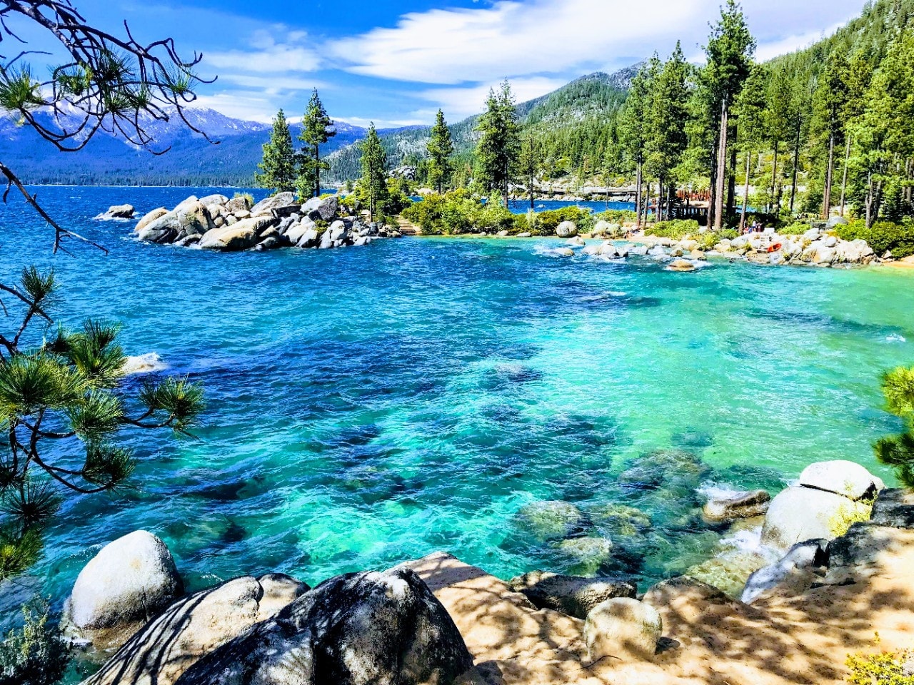
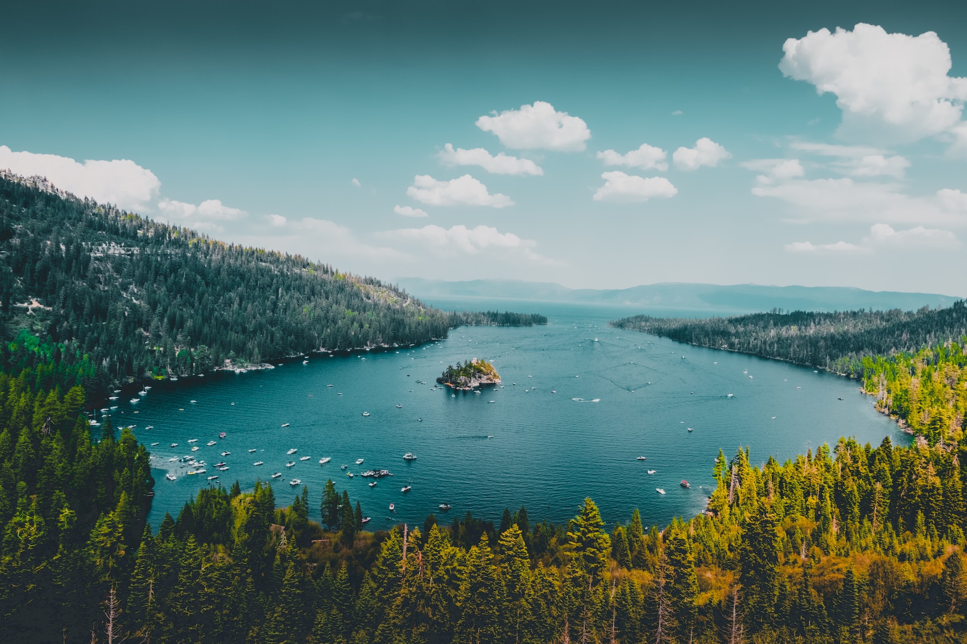
For those less concerned with the clock and more interested in the landscape, taking secondary highways through the basin and range province can be rewarding. As you approach the Sierra Nevada, the terrain shifts from arid valleys to pine-covered foothills. Entering the Lake Tahoe region via Highway 50 is particularly memorable, as it winds through scenic mountain passes that offer the first breathtaking glimpses of the deep blue water below.
Traveling by Air: Connecting the Hubs
If driving for eight hours is not feasible, flying is a viable alternative, though it requires strategic planning.
Flying into Reno-Tahoe International Airport
The most efficient way to close the distance without driving the full length of the state is to fly from Harry Reid International Airport in Las Vegas into Reno-Tahoe International Airport. This short flight, usually lasting about an hour and a half, deposits you roughly an hour away from the northern edge of the lake.
Ground Transfers from the Airport
Upon landing in Reno, travelers can secure a rental car or utilize shuttle services that run regularly to various resorts around the lake. This combination of air and ground travel is the preferred method for those looking to maximize their time spent on the water or the slopes rather than on the highway.
Planning Your Itinerary Between Destinations
The distance between these two points should not be viewed merely as a barrier, but as a transitional experience. The change in climate and culture is significant enough that it essentially serves as a vacation within a vacation.
The Contrast of Landscapes
Las Vegas is a testament to human engineering and entertainment, a man-made oasis in a harsh, dry environment. In sharp contrast, Lake Tahoe represents the raw, majestic power of nature. When planning a trip that encompasses both, consider allocating time for the physical and mental shift required to appreciate each. The dry, intense heat of the Mojave Desert is replaced by the crisp, thin mountain air of the Sierra Nevada, a transition that is best enjoyed by taking the journey slowly.

Recommendations for the Road Trip
- Safety First: Always check weather conditions, especially during the winter months. The Sierra Nevada mountain passes can experience severe snowstorms, making travel difficult or dangerous.
- Fuel and Supplies: Ensure you have enough water and snacks. The stretch of highway between Las Vegas and the northern reaches of the state contains long segments without fuel stations or cell service.
- Stopovers: Consider spending an extra night in smaller towns to support local economies and break up the drive. Places like Tonopah offer unique history and provide a much-needed rest stop midway through the journey.
- Seasonal Awareness: Summer travel offers predictable road conditions, while autumn brings brilliant fall foliage to the mountain regions, making the final stretch of the drive particularly picturesque.
By understanding the logistical realities—the 450-mile span, the choice between the direct highway and the scenic bypass, and the option of regional flight connections—travelers can better prepare for a smooth transition between two of the most significant tourist destinations in the American West. Whether you crave the high-stakes thrills of The Strip or the quiet, crystalline beauty of the lake, the journey between them is an essential part of the adventure.
LifeOutOfTheBox is a participant in the Amazon Services LLC Associates Program, an affiliate advertising program designed to provide a means for sites to earn advertising fees by advertising and linking to Amazon.com. Amazon, the Amazon logo, AmazonSupply, and the AmazonSupply logo are trademarks of Amazon.com, Inc. or its affiliates. As an Amazon Associate we earn affiliate commissions from qualifying purchases.