
Understanding the Logistics of Your Journey to Western New York
Planning a trip to Buffalo, the second-largest city in New York, requires a clear understanding of geography and transit times. Whether you are traveling for the architectural splendor, the proximity to international borders, or the vibrant urban revitalization, knowing the distance from your starting point is the first step toward a successful itinerary. Situated at the eastern tip of Lake Erie and serving as the primary gateway to Niagara Falls, this city is a pivotal hub for travelers navigating the Great Lakes region.
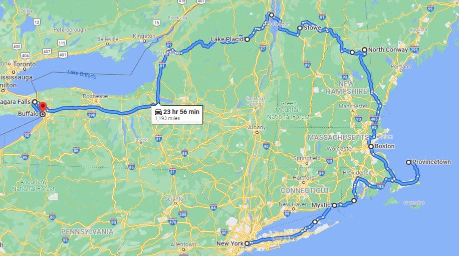
Determining how far you are from this historic metropolis depends heavily on your chosen mode of transport and your departure point. For those traveling from major metropolitan areas along the East Coast or the Midwest, Buffalo offers a unique balance of accessibility and regional charm.
Driving Distances and Regional Connectivity
Driving remains the most popular way to reach Buffalo, as the city is connected by an extensive network of interstate highways, including Interstate 90, which serves as a vital corridor for commerce and tourism.
From Major Northeastern Hubs
If you are coming from New York City, the drive is approximately 400 miles. Depending on traffic patterns through the Catskill Mountains and around Albany, travelers should budget between six and seven hours. This route offers a scenic progression from the dense urban sprawl of the coast to the rolling hills and lake plains of Western New York.
Traveling from Boston is another common route, covering roughly 450 miles. This journey typically takes about seven to eight hours. Drivers often pass through Massachusetts and Upstate New York, providing opportunities to stop in historic towns along the way.
From Midwest and Canadian Neighbors
For those arriving from the west, Cleveland is surprisingly close, sitting just 180 miles away. This drive usually takes about three hours, making it a very manageable road trip for a weekend getaway. Similarly, if you are traveling from Toronto, you are looking at a cross-border journey of roughly 100 miles. Once you clear the Peace Bridge at the border, you are only minutes away from the city center.
Air Travel and Gateway Access
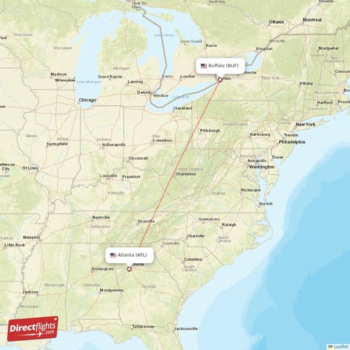
For visitors arriving from further afield, air travel is the most efficient option. The Buffalo Niagara International Airport serves as the primary aerial gateway to the region.

Flight Duration and Connectivity
Flights to Buffalo are well-supported by domestic carriers. From Chicago, flight time is roughly 90 minutes. From Washington D.C., the flight duration is generally just over an hour. This rapid connectivity allows travelers to maximize their time spent exploring the city rather than in transit.
Once you land at the airport, you are situated about 10 to 15 miles from downtown. Taxis, ride-sharing services, and rental cars are readily available, ensuring that the “last mile” of your journey is seamless. The infrastructure surrounding the airport is designed to handle a high volume of traffic, particularly during the peak summer tourism season when visitors flock to see the wonders of North America.
Rail and Bus Transit Options
For those who prefer a more relaxed approach to travel, public transit options provide a consistent, if slower, alternative to driving or flying.
Amtrak and Regional Bus Networks
Amtrak provides service to the Buffalo-Depew Station, which connects to several lines originating in New York City and Chicago. The train journey allows passengers to witness the transition of the landscape in comfort, avoiding the stress of highway congestion. While the travel time is significantly longer than driving, the experience is often cited as more restorative.
Similarly, regional bus services operate frequent routes from major cities throughout Pennsylvania and Ohio. These buses often terminate at the Downtown Buffalo station, placing travelers directly in the heart of the city’s architectural and dining districts.
Planning Your Arrival for Maximum Efficiency
Regardless of how you choose to arrive, timing your visit is essential for an optimal experience. Buffalo undergoes dramatic seasonal shifts, which can impact travel times and comfort.
Seasonal Considerations
During the winter months, lake-effect snow can significantly slow down travel by car. If you are planning a trip between December and March, it is prudent to check local weather forecasts and highway conditions frequently. Conversely, the summer months offer pleasant temperatures perfect for exploring the Canalside area or touring the famous Frank Lloyd Wright designed properties, such as the Darwin D. Martin House.
Tips for Travelers
- Buffer Time: Always add an extra hour to your travel estimate to account for construction or unforeseen traffic, especially when navigating around the Great Lakes.
- Border Crossing: If you are traveling from Canada, ensure your passport or travel documents are readily accessible before reaching the Peace Bridge or the Rainbow Bridge.
- Local Navigation: Once you arrive in Buffalo, the city layout is grid-based and quite navigable. Renting a car is often the most convenient way to reach nearby attractions like East Aurora or the vineyards surrounding Lake Ontario.
By accurately calculating the distance and choosing the right mode of transportation, you turn the journey itself into a comfortable part of your adventure. Whether you are coming from a nearby state or flying across the continent, Buffalo remains a highly accessible destination, waiting to offer its rich history, unique culture, and stunning natural surroundings to those who take the time to visit.
LifeOutOfTheBox is a participant in the Amazon Services LLC Associates Program, an affiliate advertising program designed to provide a means for sites to earn advertising fees by advertising and linking to Amazon.com. Amazon, the Amazon logo, AmazonSupply, and the AmazonSupply logo are trademarks of Amazon.com, Inc. or its affiliates. As an Amazon Associate we earn affiliate commissions from qualifying purchases.