
The allure of California’s iconic Pacific Coast Highway, often referred to as Route 1, is undeniable. This legendary roadway, tracing the dramatic coastline of the Golden State, promises breathtaking vistas, charming seaside towns, and an unforgettable road trip experience. However, the very nature of its proximity to the Pacific Ocean, and the rugged terrain it traverses, means that sections of this beloved highway can, at times, be subject to closures due to weather events, landslides, or necessary maintenance. For any traveler planning a journey along this scenic byway, understanding the current status of Route 1 is paramount to ensuring a smooth and enjoyable adventure. This guide aims to provide comprehensive insights into checking the openness of Route 1 in California, along with essential planning tips.
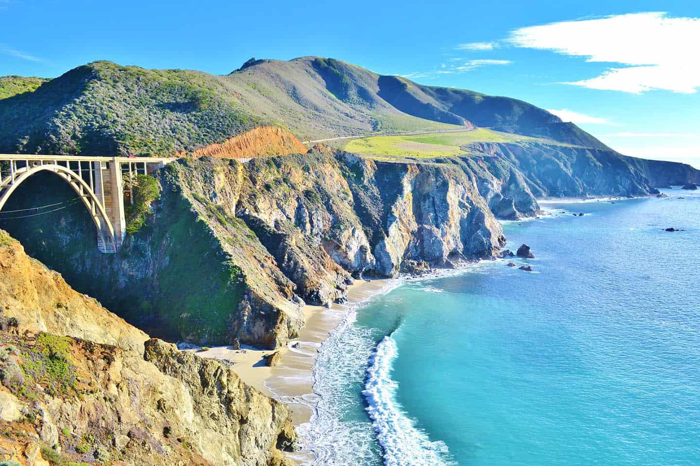
Understanding the Dynamics of Route 1 Closures
Route 1 is not a monolithic entity; it’s a vast network of roads that stretch for hundreds of miles along the California coast. The most famous and arguably most picturesque stretch is between San Francisco and San Diego, but specific sections are prone to different types of disruptions.
Common Causes for Closures
- Landslides: The steep cliffs and hillsides bordering much of Route 1, particularly in areas like Big Sur, are susceptible to landslides, especially after heavy rains. These can block the roadway entirely, sometimes for extended periods, as significant engineering is required for repairs.
- Weather Events: Intense storms, high winds, and even heavy fog can lead to temporary closures for safety reasons. Flooding can also be a concern in low-lying areas.
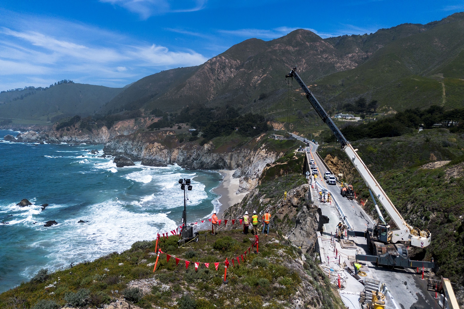
- Maintenance and Construction: Like any major roadway, Route 1 requires ongoing maintenance and occasional upgrades. Scheduled construction projects can lead to temporary lane closures or detours.
- Wildfires: During dry seasons, wildfires can pose a significant threat to coastal regions. Evacuation orders or fire suppression efforts can necessitate road closures.
Identifying Problem Areas
While closures can occur anywhere, certain stretches are historically more vulnerable. The renowned section through Big Sur, with its dramatic cliffs and winding roads, is a frequent site of landslides and associated closures. Sections north of San Francisco towards Mendocino and south of Los Angeles can also experience disruptions, though perhaps less frequently than the Big Sur corridor.
How to Check the Current Status of Route 1
Staying informed about the current conditions of Route 1 is the most critical step in planning your trip. Fortunately, several reliable resources are available to provide real-time updates.
Official California Department of Transportation (Caltrans) Resources
The California Department of Transportation (Caltrans) is the primary authority for maintaining and monitoring state highways, including Route 1.
Caltrans QuickMap
The Caltrans QuickMap is an invaluable tool for travelers. This interactive map displays real-time traffic conditions, incidents, and highway closures across the state.
- Accessing QuickMap: You can access QuickMap via the Caltrans website or by downloading the mobile application. The interface is intuitive, allowing you to zoom in on specific regions of interest along Route 1.
- Interpreting the Map: Color-coded lines indicate traffic flow, while icons clearly mark incidents, construction zones, and full road closures. For Route 1, pay close attention to any red or solid black lines indicating closures. Clicking on an incident or closure will often provide more details, including estimated reopening times if available.
Caltrans District Websites
Caltrans operates through various districts, each responsible for a specific geographic area of the state. For travelers focusing on a particular section of Route 1, visiting the relevant Caltrans District website can offer more localized and detailed information.
- District 5: Covers the Central Coast, including the crucial Big Sur region. Their website often provides detailed updates on Route 1 conditions in this area.
- District 7: Covers Los Angeles and Ventura counties.
- District 4: Covers the San Francisco Bay Area.
Local and Tourist Information Sources
Beyond official state resources, local communities and tourism boards often provide valuable on-the-ground information.
Local News Outlets and Social Media
In the event of significant closures, local news stations and newspapers often provide extensive coverage. Following their social media channels can offer immediate alerts. Similarly, official tourism accounts for towns along Route 1 may post updates relevant to their areas.
Visitor Centers and Chambers of Commerce
When planning stops in specific towns, contacting their local visitor centers or Chambers of Commerce can provide insights into local road conditions and any detours in place affecting access to attractions or amenities.
Navigation Apps
Popular navigation apps like Google Maps and Waze often integrate real-time traffic data, including reported road closures. While these are generally reliable, it’s always advisable to cross-reference their information with official Caltrans sources, especially for major disruptions.
Planning Your Route 1 Journey with Openness in Mind
A successful Route 1 road trip hinges on flexibility and preparedness. Knowing how to check for closures is only one piece of the puzzle.
Pre-Trip Research and Itinerary Building
- Define Your Route: Decide which sections of Route 1 you intend to drive. Are you focusing on the iconic Big Sur stretch, exploring the charming towns of the Central Coast, or venturing north towards wine country?
- Check Conditions Before Departure: A day or two before you set off, and again on the morning of your travel day, meticulously check Caltrans QuickMap for your intended route.
- Build in Flexibility: If possible, have alternative routes or days planned. If a section of Route 1 is closed, knowing your alternative (e.g., Highway 101) can save your trip from being derailed.
During Your Trip: Staying Updated
- Regular Checks: Even if your route appears open at the start of your journey, conditions can change rapidly. Make it a habit to check Caltrans QuickMap daily, especially if you are on a multi-day trip.
- Utilize Local Information: If you stop in a town and notice unusual activity or hear about road issues, ask locals or at your hotel for the latest information.
- Heed Warning Signs: If you approach a section of road that is officially closed, do not attempt to bypass barriers or signs. This is for your safety and the safety of others, as well as to prevent further damage to the roadway.
Alternative Routes and Considerations
When parts of Route 1 are closed, particularly the stunning Big Sur segment, travelers often need to detour inland.
Highway 101 as an Alternative
US Route 101 runs roughly parallel to Route 1 for much of its length and serves as a primary alternate route.
- Pros: Highway 101 is a major freeway, typically open and less susceptible to weather-related closures. It provides access to many of the same cities and towns, albeit without the immediate ocean views.
- Cons: It lacks the dramatic coastal scenery that makes Route 1 so famous. Journeys may be longer in terms of mileage, and the driving experience is more akin to a standard freeway drive.
Local Roads and Byways
In some instances, smaller local roads might be usable to bypass short closures. However, these are often unpaved, challenging to navigate, and should only be attempted with local knowledge and appropriate vehicles. Always verify the safety and accessibility of such routes before proceeding.

Making the Most of Your California Coastal Adventure
The dynamism of California’s coastline means that being informed is key to a successful Route 1 experience. By diligently using resources like Caltrans QuickMap and embracing flexibility, travelers can navigate any potential disruptions and still immerse themselves in the unparalleled beauty and charm that this iconic highway offers. Whether you’re heading to the iconic cliffs of Big Sur, the vineyards of Sonoma, or the vibrant cities of Southern California, a well-prepared journey along Route 1 promises memories that will last a lifetime. Remember, the adventure lies not just in reaching your destination, but in the journey itself, with all its natural wonders and occasional detours.
LifeOutOfTheBox is a participant in the Amazon Services LLC Associates Program, an affiliate advertising program designed to provide a means for sites to earn advertising fees by advertising and linking to Amazon.com. Amazon, the Amazon logo, AmazonSupply, and the AmazonSupply logo are trademarks of Amazon.com, Inc. or its affiliates. As an Amazon Associate we earn affiliate commissions from qualifying purchases.