
The journey between Las Vegas and Palm Springs is more than just a transition between two iconic cities in the southwestern United States. It is a voyage through the heart of the Mojave Desert, a trek that bridges the gap between the neon-lit high-energy of Nevada and the mid-century modern elegance of California. Whether you are planning a weekend getaway or a segment of a larger North America tour, understanding the distance, routes, and geographical nuances of this trip is essential for any traveler.
Understanding the Distance and Geographic Landscape
When asking how far Las Vegas is from Palm Springs, the answer depends largely on whether you are looking at a straight line on a map or the actual miles you will cover on the asphalt. In a straight “as the crow flies” measurement, the distance is approximately 175 miles. However, because there is no direct highway that cuts perfectly across the rugged desert terrain, the driving distance is significantly longer.
The Driving Distance Breakdown
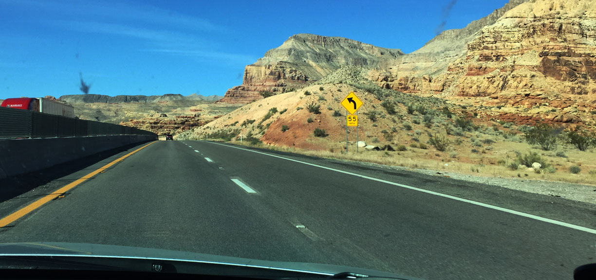
Typically, travelers can expect to cover between 230 and 280 miles depending on the specific route chosen. Most drivers find themselves behind the wheel for roughly four to five hours. This duration fluctuates based on traffic conditions in areas like San Bernardino or the outskirts of Las Vegas, as well as how many scenic detours one decides to take.
The Terrain of the High Desert
The drive traverses the High Desert, a region characterized by its elevation and unique flora. You will leave the Las Vegas Valley, climb through mountain passes, and eventually descend into the Coachella Valley. This landscape is framed by the San Jacinto Mountains and the San Bernardino Mountains, providing a dramatic backdrop for the entire trip.
Primary Routes and Transportation Options
There are two main ways to navigate the trek between these two desert oases. Each offers a different perspective on the Mojave Desert and caters to different travel priorities, whether that be speed or scenery.
The Interstate 15 to Highway 247 Route
The most common route involves taking Interstate 15 South from Las Vegas. You will pass through Primm, which sits right on the border of Nevada and California. From there, the road stretches toward Barstow. At Barstow, travelers typically transition to Highway 247, also known as Old Woman Springs Road. This path leads through Lucerne Valley and eventually into Yucca Valley, dropping you right into the Palm Springs area. This route is often preferred for its balance of highway speed and desert vistas.
The Mojave National Preserve Route
For those who have extra time and a thirst for raw nature, cutting through the Mojave National Preserve is an unforgettable experience. Instead of staying on the Interstate 15 all the way to Barstow, you can exit onto Cima Road or Kelbaker Road. This route takes you past the Kelso Dunes and massive forests of Joshua trees. It is more isolated and requires a well-maintained vehicle, but it captures the spirit of the American West perfectly.
Air Travel and Public Transit
If driving is not an option, you can fly from Harry Reid International Airport to Palm Springs International Airport. While the flight itself is less than an hour, when you factor in security and airport transfers, the total time often equals that of driving. For budget-conscious travelers, bus services like Greyhound or private shuttles operate between the cities, though they often include stops in San Bernardino or Riverside.
Iconic Landmarks and Stops Along the Way
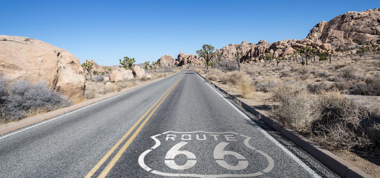
The beauty of traveling between Las Vegas and Palm Springs lies in the quirky and majestic stops that dot the landscape. Breaking up the four-hour drive allows you to experience the culture of the desert.
Seven Magic Mountains
Located just outside of Las Vegas near Jean, the Seven Magic Mountains is a large-scale art installation by Ugo Rondinone. These colorful, stacked boulders offer a stark, vibrant contrast to the muted tones of the desert and serve as a perfect first stop for photography enthusiasts.
Baker and the World’s Tallest Thermometer
As you cross the California border, you will encounter the small town of Baker. It is famous for the World’s Tallest Thermometer, a landmark that frequently displays temperatures exceeding 110 degrees Fahrenheit during the summer months. It is also a popular spot to grab a snack at Mad Greek Cafe before heading further south.
Joshua Tree National Park
While technically a slight detour, Joshua Tree National Park is easily accessible via the southern route near Twentynine Palms. The park is a convergence of two desert ecosystems: the Mojave Desert and the Sonoran Desert. Seeing the twisted, bristled trees and massive granite monoliths is a highlight for any traveler in the region.
Pioneertown
Near Yucca Valley, you can visit Pioneertown, a 1940s Hollywood film set designed to look like an 1880s frontier town. It remains a functioning community and a fascinating cultural site where you can walk down “Mane Street” and feel as though you have stepped back into the era of Gene Autry.
Essential Travel Tips for the Desert Journey
Driving through the desert requires more preparation than a standard coastal or urban commute. The environment is beautiful but can be unforgiving if you are not prepared for the conditions inherent to Southern California and Southern Nevada.
Managing the Heat
Temperature swings in the Mojave Desert can be extreme. If you are traveling between May and September, daytime temperatures often soar above 100 degrees. Ensure your vehicle’s air conditioning is in top shape and that you carry at least one gallon of water per person. Even in the winter, the sun can be intense, so sunscreen and sunglasses are staples for this trip.
Fuel and Connectivity
There are long stretches of road, particularly through the Mojave National Preserve or on Highway 247, where gas stations and cellular service are non-existent. It is a golden rule of desert travel to fuel up in Las Vegas or Baker and never let your tank drop below a quarter. Downloading offline maps of California and Nevada is also highly recommended.
Timing Your Departure
To avoid the worst of the traffic, try to avoid traveling on Friday afternoons (heading toward Las Vegas) or Sunday afternoons (heading toward Palm Springs or Los Angeles). The Interstate 15 is a major artery for weekend tourists, and congestion near Primm or Barstow can add hours to your journey. A mid-week or early morning departure usually yields the smoothest experience.

Conclusion: A Tale of Two Desert Oases
The distance between Las Vegas and Palm Springs is small enough for a single day’s drive, yet the change in atmosphere is profound. You move from the towering resorts of the Las Vegas Strip to the boutique hotels and palm-lined streets of Palm Canyon Drive.
This journey encapsulates the diverse beauty of the Southwest. Whether you are stopping to admire the Kelso Dunes or simply cruising with the windows down as the sun sets over the Mount San Jacinto State Park, the road between these two cities is a quintessential travel experience. By planning your route carefully and respecting the desert environment, you can turn a simple transfer into an adventurous exploration of one of the most unique corridors in the United States.
LifeOutOfTheBox is a participant in the Amazon Services LLC Associates Program, an affiliate advertising program designed to provide a means for sites to earn advertising fees by advertising and linking to Amazon.com. Amazon, the Amazon logo, AmazonSupply, and the AmazonSupply logo are trademarks of Amazon.com, Inc. or its affiliates. As an Amazon Associate we earn affiliate commissions from qualifying purchases.