
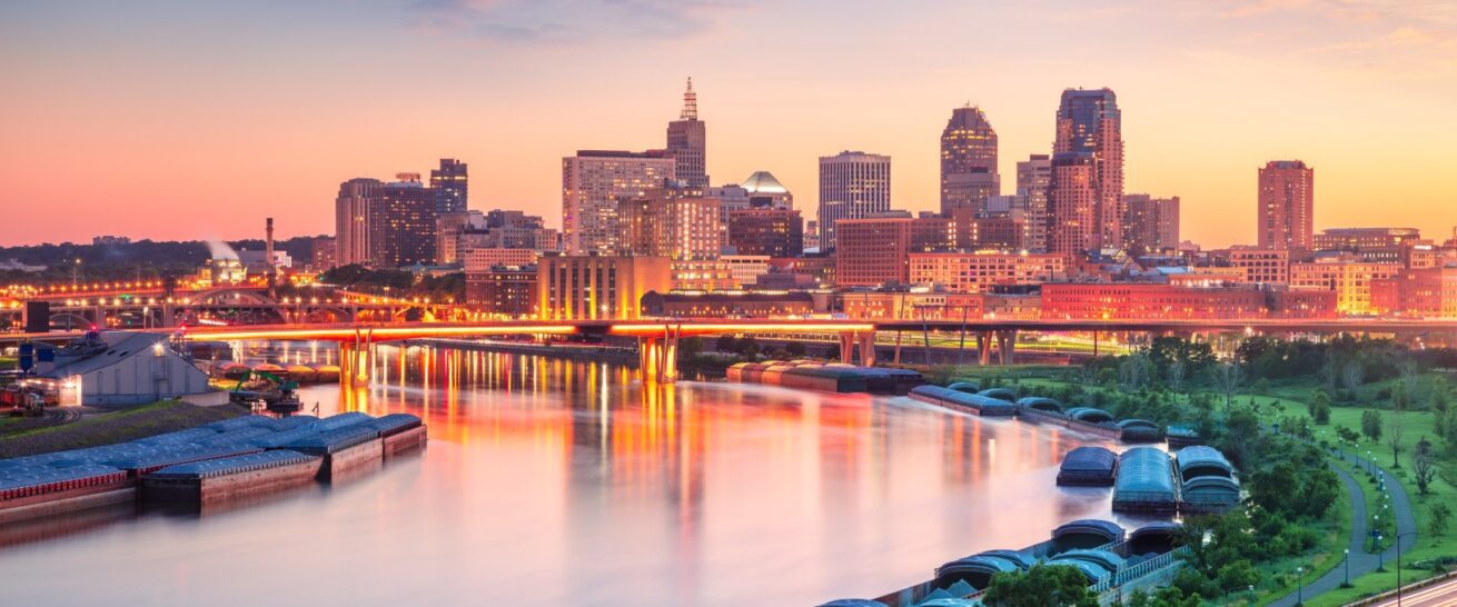
The Twin Cities of St. Paul and Minneapolis are inextricably linked, often referred to as a single metropolitan area. However, for travelers seeking to understand the distinct character of each city or planning their itinerary, knowing the precise distance is a crucial detail. While they share a vibrant cultural landscape, a rich history, and a sprawling urban environment, they are indeed separate municipalities with their own unique identities and attractions. Understanding their proximity is key to maximizing your exploration of this dynamic region.
The Geographic Divide: Understanding the Core Distance
At its most fundamental, the distance between the downtown cores of St. Paul and Minneapolis is surprisingly short. The two city centers are approximately 10 to 12 miles apart, depending on the specific starting and ending points within each downtown area. This compact distance means that transitioning from one city to the other is a swift and convenient affair, easily accomplished within a short drive or a moderately longer public transit journey.
Driving Routes and Estimated Travel Times
Navigating between St. Paul and Minneapolis by car is the most common and often the quickest method. The primary routes are well-maintained highways designed to facilitate easy movement within the Twin Cities metropolitan area.
- Interstate 94 (I-94): This is the most direct and frequently used highway connecting the two cities. Taking I-94 West from downtown St. Paul will lead you directly into downtown Minneapolis, and vice versa. Travel time via I-94 typically ranges from 15 to 30 minutes, heavily influenced by the time of day and traffic conditions. Rush hour, typically in the mornings and late afternoons on weekdays, can significantly extend this travel time, sometimes doubling it.
- Other Arterial Roads: While I-94 is the main artery, there are numerous other surface streets and state highways that can be utilized. These might offer a more scenic route or be preferable if traffic on I-94 is particularly heavy. However, these routes often involve more traffic lights and slower speed limits, making them generally less time-efficient for a direct journey.
It is always advisable to check real-time traffic updates using a GPS navigation app before embarking on your journey, especially if you have time-sensitive plans. Factors such as weather, construction, and major events can all impact travel times.
Public Transportation Options
For those who prefer not to drive, or wish to avoid parking hassles, public transportation offers a viable and often stress-free way to travel between St. Paul and Minneapolis. The Metro Transit system provides a range of options.
- Bus Routes: Numerous bus routes connect various points within St. Paul and Minneapolis, as well as offering direct cross-city services. The most prominent connector is often a variation of routes that run along I-94 or parallel corridors. Travel time by bus can vary significantly depending on the specific route, the number of stops, and traffic, but can range from 30 minutes to over an hour.
- Light Rail (Future Development & Current Connections): While a direct light rail line directly connecting downtown St. Paul and downtown Minneapolis is not currently operational, the existing Green Line Light Rail offers a significant connection between the two cities’ downtowns. The Green Line runs from Union Depot in St. Paul to Target Field Station in Minneapolis. This is a highly efficient and popular mode of transport, with a travel time of approximately 45-50 minutes, and it offers a comfortable and predictable journey, unaffected by road traffic.
When planning your public transit journey, consulting the Metro Transit website or app is essential for the most up-to-date schedules, route information, and fare details.
Beyond the Downtown Core: Exploring the Urban Sprawl

The 10-12 mile distance between the downtown centers is just one facet of the geographic relationship between St. Paul and Minneapolis. The urban and suburban areas of both cities extend outwards, creating a sprawling metropolitan region. This means that the distance between specific neighborhoods or attractions within the Twin Cities can vary considerably.
Connecting Neighborhoods and Suburbs
For instance, traveling from the Cathedral of Saint Paul in St. Paul to the Minnehaha Park in Minneapolis will involve a journey of roughly 15-20 miles, potentially taking 30-45 minutes by car without heavy traffic. Similarly, reaching the Mall of America from either downtown core will add to the travel time, as the mall is located in Bloomington, a suburb situated between the two cities, roughly 10 miles south of downtown Minneapolis.
The Interplay of Urban and Suburban Landscapes
This interconnectedness means that many visitors and residents experience the Twin Cities as a cohesive unit, fluidly moving between different areas for work, leisure, and cultural experiences. The planning of an itinerary often involves considering attractions in both St. Paul and Minneapolis within the same day, a feat made feasible by the relatively short distances and the efficiency of the transportation network.
Maximizing Your Twin Cities Experience: Strategic Planning
Understanding the distance between St. Paul and Minneapolis is more than just a geographical fact; it’s a critical element for effective travel planning. By acknowledging the proximity and the available transportation options, you can craft an itinerary that allows you to fully immerse yourself in the diverse offerings of both cities.
Creating a Balanced Itinerary
When planning your visit, consider grouping attractions by their location to minimize travel time. For example, dedicating a day to exploring St. Paul’s historic architecture, museums like the Minnesota Museum of American Art, and the vibrant Selby Avenue corridor might be best done in conjunction with nearby sites. Similarly, a day focused on Minneapolis could include its renowned chain of lakes, the Minneapolis Institute of Arts, and the entertainment district around the North Loop.
Choosing the Right Base for Your Stay
Your choice of accommodation can also be influenced by the distance between the cities. Staying in a hotel in downtown St. Paul might be ideal if your primary interests lie in the state capitol, the historic Cathedral of Saint Paul, or events at the Xcel Energy Center. Conversely, a hotel in downtown Minneapolis puts you closer to the bustling nightlife, the Stone Arch Bridge, and the numerous theaters and music venues. Alternatively, selecting a hotel in a central suburban location, or even near the Mall of America, can offer a balance, providing convenient access to both cities via major highways and public transport.
Experiencing the Twin Cities as One Entity
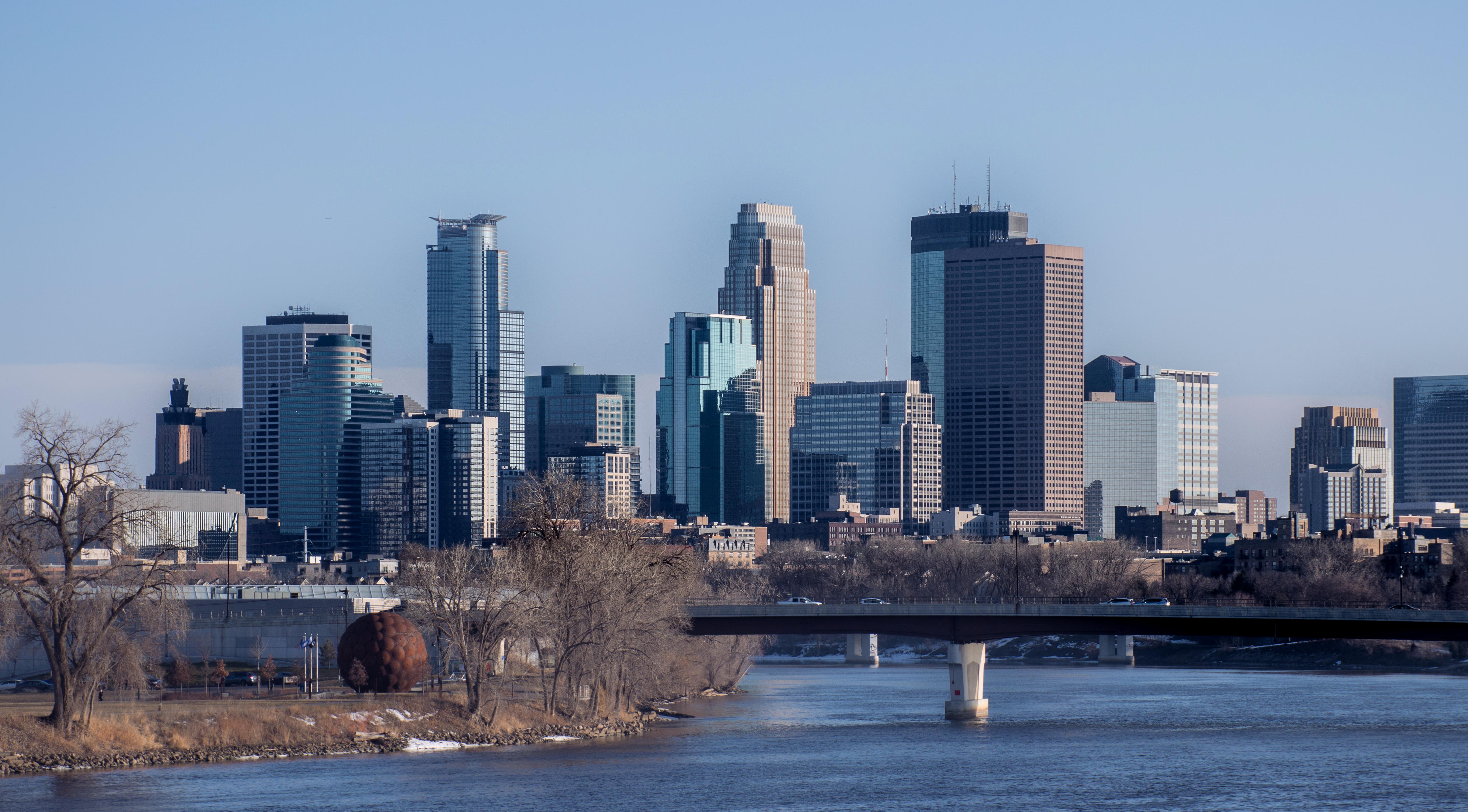
Ultimately, the question of “how far” between St. Paul and Minneapolis is less about a strict measurement and more about the ease of connection. The short distance, coupled with a well-developed infrastructure, allows the Twin Cities to be experienced as a single, diverse, and dynamic destination. Whether you are drawn to the historic charm of St. Paul or the modern vibrancy of Minneapolis, you are never far from the unique allure of the other.
LifeOutOfTheBox is a participant in the Amazon Services LLC Associates Program, an affiliate advertising program designed to provide a means for sites to earn advertising fees by advertising and linking to Amazon.com. Amazon, the Amazon logo, AmazonSupply, and the AmazonSupply logo are trademarks of Amazon.com, Inc. or its affiliates. As an Amazon Associate we earn affiliate commissions from qualifying purchases.