
Chicago, often hailed as the heart of the Midwest, stands as a monumental beacon for travelers across the United States and the world. Its iconic skyline, rich history, diverse culture, and vibrant economy make it a prime destination for leisure, business, and exploration. For anyone contemplating a visit, the initial thought often centers on logistics, and chief among these is the fundamental question: “How far is Chicago?” This query transcends a simple mileage count; it encompasses the journey itself, the time commitment, and the myriad ways to reach this dynamic city. Understanding its geographical positioning and the array of transportation options is paramount to planning an efficient and enjoyable travel experience to the Windy City.

Chicago’s Centrality: A Hub of the Midwest
Strategically situated on the southwestern shores of Lake Michigan in the state of Illinois, Chicago boasts a location that has historically made it a critical nexus for commerce, culture, and connectivity. Its position serves as a natural gateway between the eastern and western halves of the United States, while also acting as the undisputed capital of the American Midwest. This centrality is not just a geographic fact; it is deeply embedded in the city’s identity, influencing its development as a major transportation hub for rail, road, and air travel.
The city’s accessibility is one of its greatest assets. For decades, it has been a crossroads, drawing people from all directions. Its proximity to other major Midwestern cities makes it an ideal weekend getaway, while its comprehensive air routes position it as a convenient starting point or destination for national and international travelers. This strategic location has fostered a robust infrastructure designed to handle a constant flow of visitors and residents, ensuring that no matter how far one travels, reaching Chicago is a streamlined experience. It’s a city that feels both deeply American and globally connected, a testament to its pivotal role on the map.
Measuring the Journey: Distances to the Windy City
The “how far” question is best answered by considering your starting point, as Chicago’s distance varies significantly depending on where your journey begins. Whether you’re planning a cross-country adventure or a regional hop, understanding these distances and approximate travel times is crucial for effective trip planning.
From East Coast Metropolises
Traveling from the East Coast to Chicago involves navigating a significant stretch of the United States.
- New York City: Approximately 790 miles (1,270 km). A direct flight takes around 2 to 2.5 hours, while driving can take 12 to 14 hours without significant stops. Amtrak offers scenic overnight routes, taking roughly 18 to 20 hours.
- Washington D.C.: Roughly 700 miles (1,130 km). Flights are quick, usually 1.5 to 2 hours. Driving is an intense 10 to 12-hour journey. Train travel with Amtrak is another comfortable option, typically 16 to 18 hours.
- Boston: Around 980 miles (1,580 km). Air travel is the most practical, at about 2.5 hours. Driving is a substantial 15 to 17-hour trip, often requiring an overnight stop.
From West Coast Gateways
The journey from the West Coast highlights Chicago’s extensive reach across the continent, making air travel the preferred method for most.
- Los Angeles: Approximately 1,750 miles (2,816 km). A flight is typically 3.5 to 4 hours. Driving is an epic cross-country trek, demanding 25 to 28 hours of pure driving, usually spread over 2-3 days.
- San Francisco: Around 1,850 miles (2,977 km). Flights typically last 4 to 4.5 hours. A road trip would entail 28 to 30 hours of driving, also requiring multiple stops.
- Seattle: Roughly 2,050 miles (3,300 km). Flying takes about 4 hours. Driving is the longest of the West Coast journeys, around 30 to 32 hours, making it a multi-day expedition.
From Neighboring Midwest Regions
For those within the Midwest, Chicago is often just a short drive or train ride away, making it a popular choice for shorter trips.
- Milwaukee, Wisconsin: A mere 90 miles (145 km) north. A quick 1.5-hour drive or an even more convenient 1.5-hour train ride via Amtrak’s Hiawatha Service.
- Indianapolis, Indiana: Approximately 180 miles (290 km) southeast. A comfortable 3-hour drive.
- Detroit, Michigan: Roughly 280 miles (450 km) east. This trip typically takes around 4.5 to 5 hours by car.
- St. Louis, Missouri: About 300 miles (480 km) southwest. A straightforward 4.5 to 5-hour drive or a comfortable 5.5-hour Amtrak journey.
These distances illustrate Chicago’s role as a hub, accessible within a few hours from many Midwestern cities and within a day’s travel from almost anywhere in the continental United States by air.

Navigating to Chicago: Transportation Options
Beyond just knowing the distance, choosing the right mode of transport is critical for a smooth journey to Chicago. The city is exceptionally well-served by all major forms of transportation, offering flexibility for every traveler’s budget and preference.
Air Travel: The Fastest Route
For long distances, air travel is unequivocally the most efficient option. Chicago is home to two major international airports:
- O’Hare International Airport (ORD): One of the busiest airports in the world, O’Hare serves as a major hub for United Airlines and American Airlines. It offers an extensive network of domestic and international flights, connecting Chicago to virtually every corner of the globe. Located about 17 miles northwest of downtown, it’s easily accessible via the CTA Blue Line train.
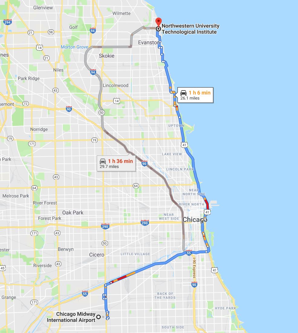
- Midway International Airport (MDW): Smaller and closer to downtown (about 11 miles southwest), Midway is a major hub for Southwest Airlines and focuses primarily on domestic routes. It offers a more intimate and often quicker experience for travelers, with direct access to downtown via the CTA Orange Line.
Booking flights well in advance, especially during peak travel seasons, can yield significant savings. Considering both airports for your travel plans can provide more options for times and prices.
Road Trips: The Scenic Drive
For those who prefer the open road, Chicago is a focal point of the national interstate highway system. Major routes converge on the city, making it a prime road trip destination.
- Interstates: I-90 (East-West, connecting to Boston and Seattle), I-55 (South, to St. Louis and beyond), I-80 (East-West, connecting to New York City and San Francisco), I-57 (South, to Memphis), and I-94 (North-South, connecting to Detroit and Milwaukee) all lead to or through Chicago.
- Considerations: Driving offers unparalleled flexibility and the opportunity to explore smaller towns and attractions along the way. However, it requires accounting for fuel costs, potential tolls (especially around Chicago itself), and rest stops. For longer distances, planning an overnight stay is often advisable to ensure safety and comfort.
Rail and Bus Services: Alternative Journeys
For a more relaxed or budget-conscious journey, rail and bus services offer viable alternatives.
- Amtrak: Chicago’s Union Station is one of the busiest Amtrak hubs in the United States, serving as the origin or destination for numerous long-distance routes. This allows travelers to avoid the stress of driving or flying, offering comfortable seats, dining cars, and scenic views. It’s an excellent option for journeys from neighboring Midwest cities and even longer overnight trips from the East Coast.
- Bus Services: Companies like Greyhound and Megabus provide extensive networks connecting Chicago to cities across the United States. These are often the most economical options, though travel times are typically longer than driving or taking the train. Bus stations are generally centrally located and offer convenient access to public transportation within Chicago.
Planning Your Chicago Itinerary: Making the Distance Worthwhile
Once the “how far” and “how to get there” questions are answered, the focus shifts to “what to do.” Chicago’s magnetic appeal lies in its diverse offerings, making any journey, no matter the distance, profoundly rewarding. To truly make your trip worthwhile, meticulous planning of your itinerary is key.
Start by considering your interests. Are you drawn to world-class museums like the Art Institute of Chicago or the Field Museum? Do you want to marvel at architectural masterpieces on a renowned Chicago Architecture Foundation Center River Cruise? Perhaps you’re eager to experience the city’s vibrant food scene, from iconic deep-dish pizza to Michelin-starred dining. Millennium Park, home to the famous Cloud Gate sculpture (affectionately known as “The Bean”), and the entertainment hub of Navy Pier are must-visits for first-timers. For shopping enthusiasts, the Magnificent Mile offers an unparalleled retail experience, while breathtaking views await at the top of the Willis Tower Skydeck or the 360 Chicago Observation Deck at the John Hancock Center.
Timing your visit also plays a significant role. Summer boasts festivals, outdoor dining, and bustling lakefront activities, but also higher prices and larger crowds. Spring and fall offer milder weather, fewer tourists, and beautiful seasonal changes, ideal for exploring the city on foot. Winter, while cold, brings festive decorations, ice skating, and the chance to experience Chicago’s cozy indoor attractions and world-class theater scene.
No matter your starting point or chosen mode of transport, a trip to Chicago promises an unforgettable experience. The distance, whether great or small, fades in significance when faced with the sheer depth and breadth of what the Windy City has to offer. Plan thoughtfully, embrace the journey, and prepare to be captivated by one of America’s most dynamic destinations.
LifeOutOfTheBox is a participant in the Amazon Services LLC Associates Program, an affiliate advertising program designed to provide a means for sites to earn advertising fees by advertising and linking to Amazon.com. Amazon, the Amazon logo, AmazonSupply, and the AmazonSupply logo are trademarks of Amazon.com, Inc. or its affiliates. As an Amazon Associate we earn affiliate commissions from qualifying purchases.