
The journey from the coastal sprawl of Los Angeles to the neon-lit oasis of Las Vegas is more than just a transition between two iconic cities; it is a quintessential American rite of passage. Spanning the rugged terrain of Southern California and the vast, sun-scorched expanses of the Mojave Desert, this route is traveled by millions of tourists, business professionals, and adventure seekers every year. Whether you are planning a weekend getaway or a mid-week escape, understanding the distance, the terrain, and the logistical nuances of this trip is essential for a seamless travel experience in the United States.
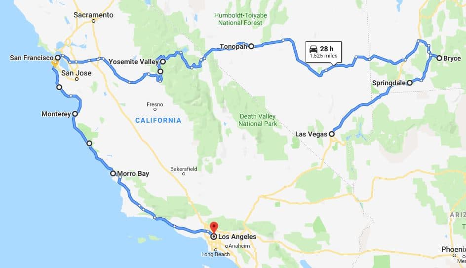
Mapping the Distance: The Road from Los Angeles to Las Vegas
When travelers ask about the distance between these two hubs, the answer depends largely on the starting point within the massive Los Angeles Basin and the chosen mode of transport. Geographically, the straight-line distance (or “as the crow flies”) is approximately 230 miles. However, for those navigating the asphalt, the actual road mileage is slightly higher.
The Standard Route via Interstate 15
The most common way to traverse this distance is by driving along Interstate 15, a major highway that serves as the primary artery connecting California and Nevada. Starting from Downtown Los Angeles, the driving distance to the heart of the Las Vegas Strip is roughly 270 miles.
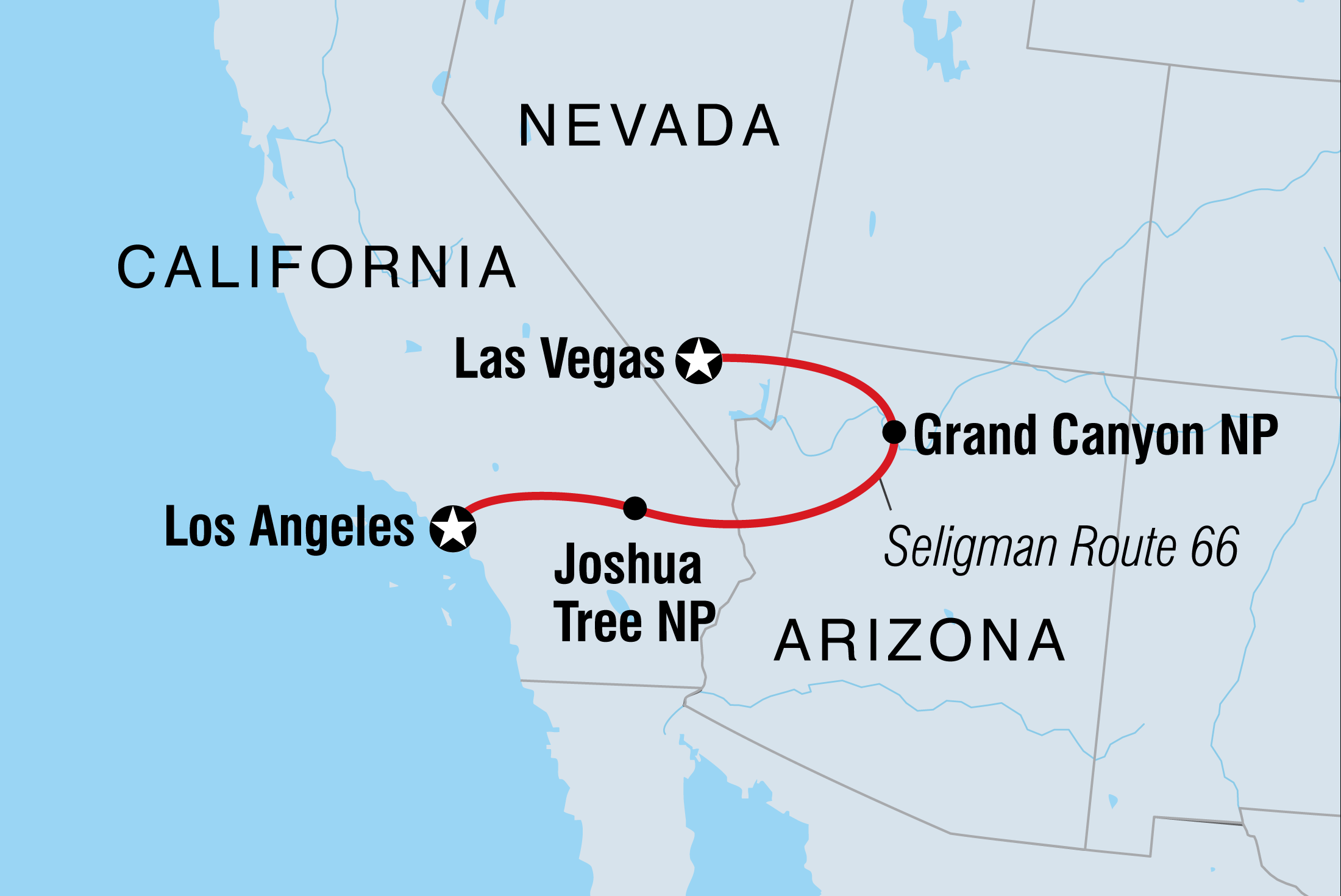
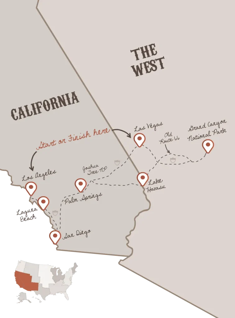
The journey typically begins by heading east on Interstate 10 or California State Route 60 before merging onto Interstate 15 North in Ontario. From there, the road climbs through the Cajon Pass, a mountain gap that separates the San Bernardino Mountains and the San Gabriel Mountains. This elevation gain provides a dramatic shift in scenery as the urban landscape gives way to the high desert.
Understanding Total Mileage and Travel Time
While 270 miles might seem like a manageable four-hour drive, travel time is highly variable. On a clear Tuesday morning, a driver might reach Clark County in about four to five hours. However, on Friday afternoons, when a significant portion of Southern California heads to Nevada for the weekend, that same 270-mile stretch can take six to eight hours due to congestion.
The mileage also fluctuates depending on your specific departure point. If you are starting from Santa Monica, add another 15 to 20 miles to your total. Conversely, travelers departing from the Inland Empire cities like San Bernardino or Riverside will find their trip shortened to approximately 230 miles, as they are already positioned closer to the desert corridor.
Alternative Modes of Transportation: Beyond the Personal Vehicle
While the road trip is a classic choice, many travelers prefer to bypass the steering wheel entirely. The “miles” between these cities can be covered through various logistical means, each offering a different perspective on the landscape.
Flying from LAX to Harry Reid International Airport
For those who prioritize speed, air travel is the most efficient option. Flights from Los Angeles International Airport to Harry Reid International Airport cover the distance in approximately 45 to 60 minutes of air time. When factoring in the total distance from airport to airport, the flight path is remarkably direct.
Beyond the main hub of LAX, travelers can also utilize regional airports such as Hollywood Burbank Airport, John Wayne Airport in Orange County, and Ontario International Airport. These alternatives can often save time on the ground, even if the flight mileage remains similar, by reducing the pre-flight commute within the Los Angeles metro area.
Bus and Shuttle Services for a Stress-Free Ride
For budget-conscious travelers or those who wish to enjoy the desert views without the responsibility of driving, several luxury bus lines and shuttle services operate daily. Companies like FlixBus and Megabus offer frequent departures from various points in Los Angeles. These services generally follow the Interstate 15 route, covering the same 270 miles but allowing passengers to relax, work, or sleep. Some premium shuttles even offer door-to-door service from major hotels like the Beverly Hills Hotel directly to Resorts World Las Vegas.
The Future of High-Speed Rail in the Mojave Desert
One of the most anticipated developments in the travel corridor between California and Nevada is the Brightline West high-speed rail project. This rail line is designed to cover the distance at speeds of up to 200 miles per hour. The proposed route will primarily run along the Interstate 15 median, connecting Rancho Cucamonga to a new station near the Las Vegas Strip. This will eventually transform the 270-mile journey into a sleek, two-hour trip, drastically altering how people perceive the distance between these two mega-destinations.
Planning Your Road Trip: Essential Stops and Preparation
If you choose to drive the miles yourself, the journey is peppered with unique landmarks that make the trip worthwhile. The route through the Mojave Desert is far from a barren wasteland; it is a region rich in quirky Americana and natural beauty.
Must-See Stops Along the Interstate 15
To break up the 270-mile drive, most travelers stop in Barstow. This city serves as a midpoint and is home to the Barstow Station, a collection of shops and eateries housed in old railroad cars. For those interested in history, a short detour to the Calico Ghost Town offers a glimpse into California’s silver mining past.
Further north, as you approach the Nevada border, the town of Baker presents the World’s Tallest Thermometer. This 134-foot structure is a testament to the extreme temperatures of the region, often recording figures well above 100 degrees Fahrenheit. Just before crossing into Nevada, travelers encounter Seven Magic Mountains, a colorful art installation by Ugo Rondinone that has become a viral sensation for road trippers.
Navigating Traffic and Peak Travel Times
The “miles” are often less important than the “hours” when it comes to the drive to Las Vegas. The Cajon Pass can become a major bottleneck, especially during the winter months when snow can occasionally close the pass. Additionally, Sunday afternoon traffic heading back to Los Angeles is notoriously difficult. The stretch between Primm and Barstow can see miles of bumper-to-bumper cars as thousands of visitors return to the coast. Smart travelers often choose to depart Las Vegas late Sunday evening or early Monday morning to avoid the gridlock.
Seasonal Considerations and Safety Tips for the Desert Drive
Traveling across the Mojave Desert requires preparation, as the environment is one of the most extreme in North America. The miles between Los Angeles and Las Vegas take you through remote areas where services can be sparse.
Managing High Temperatures in the Mojave Desert
During the summer months, temperatures between Victorville and Las Vegas frequently exceed 110 degrees Fahrenheit. It is imperative to ensure your vehicle’s cooling system is in top condition. Breaking down in the Mojave National Preserve without adequate water can be dangerous. Always carry at least one gallon of water per person and ensure your mobile phone is fully charged before leaving San Bernardino.
Vehicle Maintenance for Long-Distance Desert Travel
The long, flat stretches of Interstate 15 encourage high speeds, which can put significant stress on tires, especially in the heat. Before embarking on the 270-mile journey, check your tire pressure and tread. Additionally, fuel management is key. While there are gas stations in towns like Baker and Ludlow, the price of fuel in these remote locations is significantly higher than in Los Angeles. Filling up in the Inland Empire before hitting the open desert is a wise financial move.
In conclusion, while the physical distance from Los Angeles to Las Vegas is roughly 270 miles, the experience of the journey is defined by the route you take and the time of day you travel. From the scenic mountain passes of Southern California to the artistic wonders of the Nevada desert, every mile offers a unique story. Whether you fly over the San Gabriel Mountains or drive past the Zzyzx Road exit, the trip remains a cornerstone of the American travel experience, bridging the gap between the Pacific Ocean and the world’s most famous playground.
LifeOutOfTheBox is a participant in the Amazon Services LLC Associates Program, an affiliate advertising program designed to provide a means for sites to earn advertising fees by advertising and linking to Amazon.com. Amazon, the Amazon logo, AmazonSupply, and the AmazonSupply logo are trademarks of Amazon.com, Inc. or its affiliates. As an Amazon Associate we earn affiliate commissions from qualifying purchases.