
The distant rumble of thunder, the shift in the wind, and the ever-present possibility of a tropical cyclone on the horizon – these are the familiar harbingers of hurricane season, a time that demands vigilance and preparedness, particularly for those living in coastal regions. For residents and travelers alike, the question, “Is the hurricane going to hit Texas?” is not merely a matter of idle curiosity but a crucial piece of information that can impact safety, travel plans, and livelihoods. The vast, diverse landscape of Texas, stretching from its sun-drenched beaches along the Gulf of Mexico to its bustling inland cities, makes it a perennial player in the Atlantic hurricane season’s unpredictable narrative.
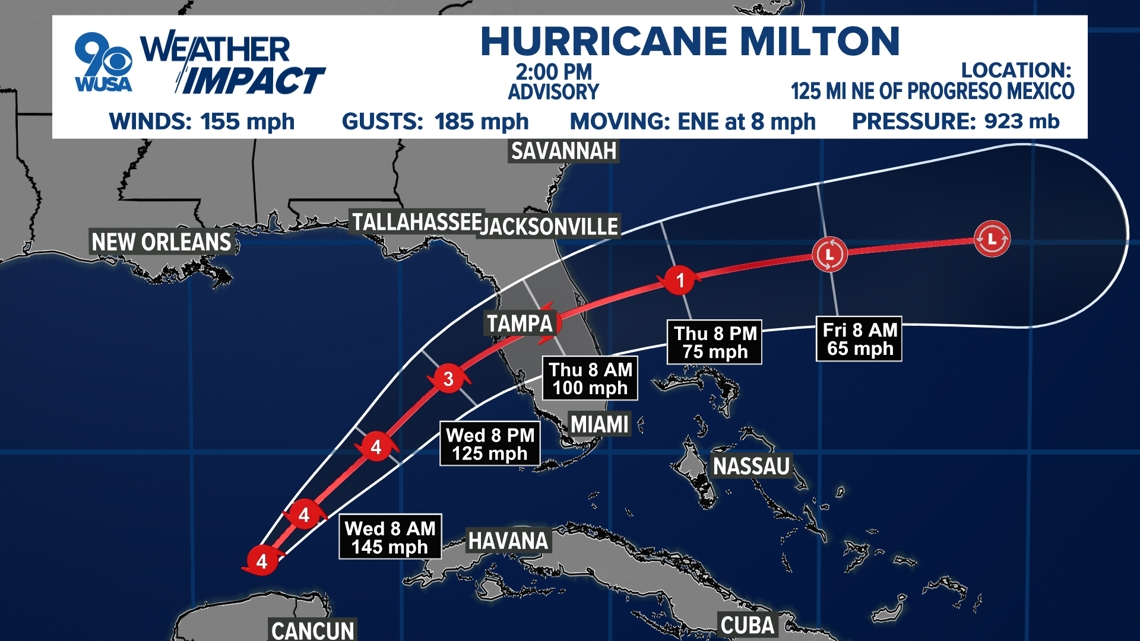
Understanding the potential for a hurricane to make landfall in Texas involves a complex interplay of meteorological factors, oceanographic conditions, and atmospheric patterns. It’s a dynamic situation that unfolds over days and weeks, often monitored by a dedicated corps of meteorologists and scientists. While pinpointing the exact trajectory and intensity of a storm far in advance is an inexact science, the tools and data available today provide a much clearer picture than ever before, allowing for informed decision-making. This article delves into the factors that influence hurricane development and track, the historical context of hurricanes in Texas, and practical advice for navigating the storm season, whether you’re planning a dream vacation to Galveston or a business trip to Houston.
Understanding Hurricane Formation and Tracks
The genesis of a hurricane is a fascinating, yet formidable, process that begins over warm ocean waters. These powerful storms, known scientifically as tropical cyclones, require a specific set of conditions to form and intensify. The primary ingredient is warm sea surface temperatures, typically at least 80°F (26.7°C), extending to a depth of at least 150 feet. This warm water provides the energy, through evaporation, that fuels the storm’s engine. As warm, moist air rises, it cools and condenses, forming clouds and releasing latent heat, which further intensifies the updraft. This creates a low-pressure system at the surface, drawing in more air from surrounding areas.
Another critical factor is the presence of atmospheric instability. This means that the air is likely to continue rising once it starts, helping to organize the convection into a spiraling pattern. Light upper-level winds, known as low wind shear, are also essential. High wind shear can tear a developing storm apart, disrupting its structure and preventing it from organizing. Finally, a pre-existing weather disturbance, such as a tropical wave, can act as a seed for the storm. These disturbances, when moving over warm ocean waters in areas with the right atmospheric conditions, can begin to organize and develop into tropical depressions, then tropical storms, and eventually, hurricanes.
The location of development is also key. Tropical cyclones in the Atlantic Basin typically form in several distinct areas. Some develop off the coast of Africa, carried westward by the prevailing easterly trade winds. Others can form in the Caribbean Sea or the Gulf of Mexico. The atmospheric steering currents, which are essentially the prevailing winds at different altitudes, dictate the general track of these storms. These currents can be influenced by larger weather patterns, such as the Bermuda-Azores High, a semi-permanent high-pressure system in the Atlantic. Depending on the strength and position of this high, storms can be steered westward towards the U.S. coastline, recurve northeastward out to sea, or take other paths.
Factors Influencing Texas Landfall
For Texas, the threat of a hurricane landfall is intrinsically linked to the prevailing atmospheric steering patterns during hurricane season, which officially runs from June 1st to November 30th. The most active months for Texas are typically August, September, and October. During these months, the Bermuda-Azores High often weakens or shifts, allowing storms to track more westward.
When a hurricane forms in the Caribbean Sea or the Gulf of Mexico, its path is closely watched. A strong high-pressure ridge to the north can force a storm westward into the Texas coast. Conversely, if the high-pressure system remains strong and positioned to the north, it can steer storms away from Texas and towards the northeastern United States. Sea surface temperatures in the Gulf of Mexico are also a significant factor. Warmer waters provide more fuel for a storm, potentially leading to quicker intensification as it approaches the coast. This is a concern for coastal Texas cities like Corpus Christi and South Padre Island, which are particularly vulnerable.
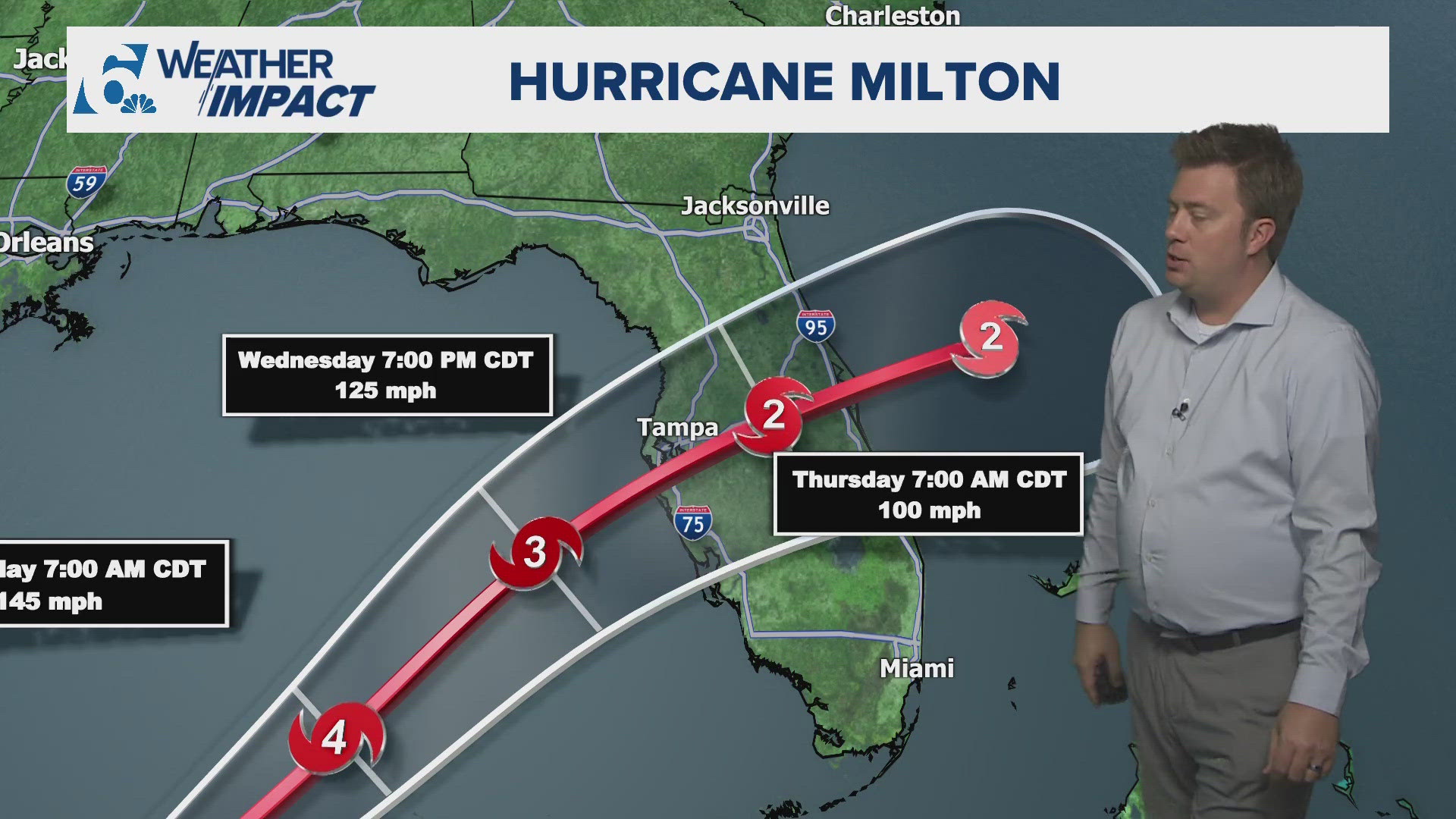
The specific geography of the Texas coastline also plays a role. The long, relatively flat stretch of coast can be susceptible to storm surge, the abnormal rise of water generated by a storm’s winds. This surge, combined with heavy rainfall and strong winds, can lead to significant flooding and devastation. Understanding these meteorological and geographical influences is crucial for anticipating the potential impact of any given storm.
Historical Hurricane Activity in Texas
Texas has a long and often tumultuous history with hurricanes. The state’s extensive coastline, bordering the warm waters of the Gulf of Mexico, makes it a frequent destination for these powerful storms. Over the decades, numerous hurricanes have made landfall, leaving behind a legacy of both destruction and resilience.
One of the most devastating storms to ever strike Texas was the Great Galveston Hurricane of 1900. This Category 4 storm, with an estimated wind speed of 130 mph, made landfall on September 8, 1900, causing immense devastation. The island city of Galveston was inundated by a storm surge estimated to be between 8 and 15 feet, leading to the deaths of an estimated 6,000 to 12,000 people. This tragic event remains the deadliest natural disaster in U.S. history and prompted significant efforts to protect the city, including the construction of the famous Galveston Seawall.
In more recent history, Hurricane Alicia in 1983, a Category 3 storm, struck the Houston-Galveston metropolitan area, causing significant damage and loss of life. Another memorable storm was Hurricane Rita in 2005, a powerful Category 5 hurricane that weakened to a Category 3 before making landfall near the Texas-Louisiana border. While its direct impact on Texas was severe, it caused widespread evacuations across southeastern Texas, including parts of Houston.
More recently, Hurricane Harvey in 2017 delivered a devastating blow to the Texas coast, particularly the Houston metropolitan area. Although it made landfall as a Category 4 hurricane near Rockport, its slow movement over land caused unprecedented rainfall, leading to historic flooding across vast regions of southeast Texas. The sheer volume of rain overwhelmed drainage systems and reservoirs, inundating homes and businesses and causing billions of dollars in damage. Harvey underscored the fact that even after a storm weakens, its rainfall threat can persist and cause catastrophic damage inland. The memory of these events serves as a stark reminder of the importance of preparedness and the potential power of nature.
Preparing for a Texas Hurricane
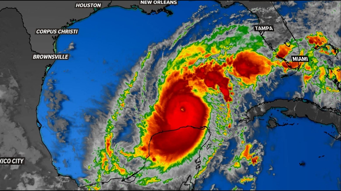
The question of whether a hurricane will hit Texas is constantly being analyzed by meteorological agencies like the National Hurricane Center. These organizations issue advisories, watches, and warnings to keep the public informed about potential threats. A hurricane watch means that hurricane conditions are possible within a specified area, typically within 48 hours. A hurricane warning indicates that hurricane conditions are expected within a specified area, typically within 36 hours.
For anyone living in or traveling to Texas during hurricane season, preparedness is paramount. The first step is to stay informed. Monitor official weather forecasts from reliable sources, such as the National Hurricane Center and local news outlets. Understand the difference between a watch and a warning and what each signifies for your location.
If a hurricane is forecast to impact Texas, especially coastal areas, it is crucial to have a plan. This plan should include evacuation routes and a designated safe place to go if an evacuation order is issued. For those staying put, securing your home is essential. This involves boarding up windows and doors, bringing in outdoor objects that could become projectiles, and ensuring that you have an emergency supply kit. This kit should contain essentials such as non-perishable food, water, a first-aid kit, medications, flashlights, batteries, and a weather radio. For travelers, this means constantly checking flight statuses and hotel reservations. Hotels in vulnerable areas may implement their own hurricane preparedness plans, including potential cancellations and refunds. Travelers should also familiarize themselves with hotel policies regarding severe weather. Planning a trip to a destination like San Antonio, which is inland, might be a safer bet during peak hurricane season, but it’s always wise to be aware of weather patterns regardless of your location.
For those planning to stay in a resort or villa in areas like South Padre Island, understanding the resort’s emergency procedures and evacuation plans is vital. Long-term stay accommodations should also have robust preparedness strategies in place. Ultimately, proactive planning and staying informed are the most effective ways to mitigate the risks associated with hurricane season in Texas.
LifeOutOfTheBox is a participant in the Amazon Services LLC Associates Program, an affiliate advertising program designed to provide a means for sites to earn advertising fees by advertising and linking to Amazon.com. Amazon, the Amazon logo, AmazonSupply, and the AmazonSupply logo are trademarks of Amazon.com, Inc. or its affiliates. As an Amazon Associate we earn affiliate commissions from qualifying purchases.