
The vastness of the United States often inspires awe and ambition in travelers, particularly when contemplating journeys that span thousands of miles across diverse landscapes. A common question that arises for those planning cross-country adventures or simply curious about the nation’s geography is, “How far is Minnesota from California?” This seemingly simple query unlocks a wealth of considerations for travel planning, from understanding the sheer distance to evaluating the various modes of transport, time commitments, and experiences that define such an epic traverse.
At its core, the distance between Minnesota and California is substantial, reflecting the continental scale of the American landscape. While the precise mileage can vary significantly depending on specific start and end points, travelers can generally expect to cover anywhere from 1,600 to over 2,000 miles. This journey takes one from the heart of the Midwest, with its numerous lakes and four distinct seasons, to the sunny, diverse, and often dramatic landscapes of the Golden State. Whether you envision a rapid flight across the country or an immersive road trip, understanding this geographical reality is the first step in crafting an unforgettable travel experience.

The Geographical Reality: Pinpointing the Distance
Understanding the true distance between Minnesota and California involves more than just a single number; it’s about appreciating the nuances of geography and the practicalities of travel. This journey encompasses a significant portion of the North American continent, crossing multiple states and varied terrains.
Straight-Line vs. Driving Distance
When discussing geographical separation, it’s crucial to differentiate between the straight-line (or “as the crow flies”) distance and the actual driving distance. The straight-line distance, which is useful for air travel calculations, represents the shortest possible path between two points without considering landforms, roads, or airspace restrictions. For example, the aerial distance from Minneapolis, Minnesota, to Los Angeles, California, is roughly 1,580 miles (2,540 kilometers).
However, for ground travel, the driving distance is significantly longer and more relevant. Roads are rarely linear; they weave through cities, around mountains, and across plains, adding considerable mileage. The actual driving routes between these states typically range from 1,900 to 2,300 miles (approximately 3,050 to 3,700 kilometers), depending on the specific cities of origin and destination, and the chosen route. This difference highlights the practical considerations travelers must account for when planning.
Key Cities as Reference Points
To provide a more concrete understanding, let’s consider the distances between some prominent cities in both states:
- Minneapolis, Minnesota to Los Angeles, California: This is one of the most common routes. Driving this typically covers about 1,950 to 2,050 miles. A direct drive without significant stops would take approximately 28-32 hours, meaning a multi-day journey is essential.
- St. Paul, Minnesota to San Francisco, California: Traveling from the Twin Cities area to Northern California’s iconic San Francisco is a slightly longer journey. Expect to cover around 2,100 to 2,200 miles, equating to a driving time of 30-34 hours under ideal conditions.
- Northern Minnesota (e.g., Duluth) to Southern California (e.g., San Diego): Such a journey could stretch to 2,300 miles or more, pushing driving times well over 35 hours.
These figures underscore that travel between Minnesota and California is a significant undertaking, requiring careful planning and an awareness of the time investment.
Factors Influencing Distance and Travel Time
Several elements can impact the actual mileage and duration of your trip:
- Specific Endpoints: As highlighted above, the exact start and end cities within each state make a substantial difference.
- Chosen Route: Different interstates and highways offer varying scenic values, rest stop availabilities, and potential detours. For instance, some routes might favor speed across the Great Plains, while others might take you through the southern reaches of the Rocky Mountains.
- Road Conditions and Traffic: Construction, accidents, and peak-hour traffic, especially around major metropolitan areas like Chicago, Denver, Salt Lake City, or the California cities, can add unexpected delays.
- Weather: Adverse weather conditions, particularly snow in the winter months across the Midwest and mountain passes, or heavy rain, can slow travel considerably.
Considering these variables allows for more realistic travel planning and a better understanding of the journey ahead.
Navigating the Journey: Travel Options and Timeframes
The significant distance between Minnesota and California means travelers have distinct choices for getting from one state to the other. Each mode of transport offers a unique balance of speed, cost, convenience, and experience.
Traveling by Air
For many, flying is the most efficient and time-sensitive option to traverse the country.
- Flight Duration: A direct flight from Minneapolis-St. Paul International Airport (MSP) to major California hubs like Los Angeles International Airport (LAX), San Francisco International Airport (SFO), or Oakland International Airport (OAK) typically takes between 3.5 to 4.5 hours. Flights with layovers, while often more budget-friendly, can extend total travel time to 6-8 hours or more, depending on the connection city and wait times.
- Major Airports: Minnesota is primarily served by MSP in the Twin Cities metro area. California, being a much larger state, boasts numerous international and regional airports, including LAX, SFO, OAK, San Jose International Airport (SJC), San Diego International Airport (SAN), and Sacramento International Airport (SMF), providing ample choices for arrival.
- Considerations: Air travel excels in speed and comfort (especially for long distances). However, it requires travelers to factor in time for airport security, boarding, and potential delays. Baggage fees, seat selection charges, and the overall cost of airfare can also add up, especially during peak seasons. While the flight itself is quick, the entire airport experience can easily add several hours to the journey.
The Great American Road Trip
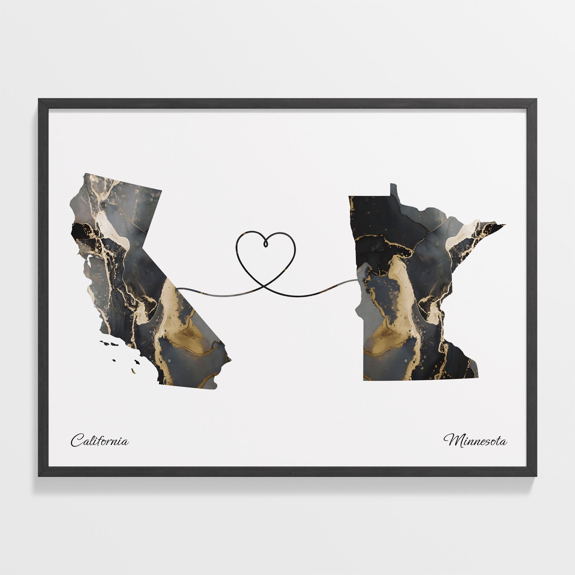
For those who prioritize flexibility, scenery, and the spirit of adventure, driving offers an unparalleled way to experience the vastness between Minnesota and California.
- Driving Duration: As established, the driving time itself ranges from 28 to 35+ hours. Realistically, this translates into a 3 to 5-day journey, allowing for necessary overnight stops, meal breaks, and exploring interesting places along the way. Attempting to complete the drive in fewer than three days is generally not recommended due to fatigue and safety concerns.
- Mileage and Routes: Popular routes often traverse states like South Dakota, Wyoming, and Nevada, or further south through Nebraska, Colorado, and Utah or Arizona. Each route offers different landscapes, from the flat expanse of the Great Plains to the majestic Rocky Mountains and the desert beauty of the Southwest.
- Considerations: A road trip provides immense flexibility to stop where and when you please, discover hidden gems, and truly immerse yourself in the changing scenery. However, it demands a reliable vehicle, significant fuel costs, and planning for overnight accommodations. The physical toll of long hours behind the wheel also needs to be considered, making shared driving responsibilities or frequent breaks crucial.
Other Modes of Transport (Train, Bus)
While less common for this specific route due to longer travel times, trains and buses offer alternative options for budget-conscious travelers or those seeking a different pace.
- Train Travel: Amtrak provides cross-country routes, though often with transfers. A train journey from St. Paul to a California city like Los Angeles could take 2-3 days, offering scenic views and the comfort of moving around more freely than in a car or plane. It’s generally slower and less direct than flying but can be a unique experience.
- Bus Travel: Greyhound and other bus services connect cities nationwide. A bus trip from Minnesota to California would typically involve multiple transfers and take upwards of 40-50 hours, or even more, making it the longest travel option. While often the most economical, comfort levels are generally lower, and the journey is extended.
Choosing the right mode of transport hinges on your priorities: speed, budget, desired experience, and available time.
Planning Your Cross-Country Adventure: Essential Travel Tips
Embarking on a journey from Minnesota to California, regardless of the chosen method, requires thoughtful preparation. A well-planned trip ensures a smoother, more enjoyable, and safer experience.
Best Time to Travel
The timing of your trip can significantly impact road conditions, flight availability, and overall comfort.
- Summer (June-August): Offers the warmest weather, making driving pleasant across most states. However, mountain passes can still experience late spring snow, and desert regions in the Southwest can be extremely hot. Airfares and accommodation prices might be higher due to peak travel season.
- Spring (April-May) and Fall (September-October): These shoulder seasons often provide the most favorable conditions for driving, with mild temperatures and beautiful scenery (especially fall foliage in the Midwest and early spring blooms). Less crowded and potentially more affordable than summer.
- Winter (November-March): Driving through the northern states and the Rocky Mountains during winter can be challenging due to snow, ice, and road closures. While flying is less affected by ground weather, flight delays are common during winter storms. If driving in winter, a southern route (e.g., via Oklahoma and Arizona) is often preferred.
Budgeting for the Journey
A cross-country trip involves several significant expenses.
- Flights: Airfare can fluctuate wildly based on booking time, season, and airline. Budget for anywhere from $150-$500+ for a one-way ticket, plus baggage fees.
- Driving Costs: Fuel will be a major expense, easily $300-$600+ depending on gas prices, vehicle fuel efficiency, and exact mileage. Factor in potential maintenance checks before departure.
- Accommodation: If driving, plan for 2-4 nights of hotel stays. Prices can vary significantly by location and time of year.
- Food: Budget for meals, snacks, and drinks, which can quickly add up, especially if eating out frequently. Packing some snacks can save money.
- Contingency Fund: Always set aside extra funds for unexpected expenses like vehicle repairs, unforeseen overnight stays, or emergencies.
Packing Smart for Diverse Climates
The climate contrast between Minnesota and California is vast. Minnesota experiences cold, snowy winters and hot, humid summers, while California’s climate ranges from temperate coastal regions to scorching deserts and snowy mountains.
- Layering: This is key. Pack versatile clothing that can be layered to adapt to temperature changes throughout the day and across different geographical zones.
- Footwear: Comfortable walking shoes are essential, especially if you plan to explore cities or natural areas.
- Essentials: Don’t forget sunscreen, sunglasses, hats, and a reusable water bottle, especially if you’re heading to sunny California or driving through desert regions.
Safety and Preparedness
Prioritizing safety ensures a stress-free journey.
- Vehicle Check (for drivers): Before a long road trip, ensure your car is in excellent condition: check tires, oil, fluids, brakes, and lights. Carry a spare tire, jack, and basic tools.
- Emergency Kit: Pack a first-aid kit, jumper cables, flashlight, blankets, non-perishable food, and plenty of water.
- Navigation: While smartphones are invaluable, a physical map or a downloaded offline map can be a lifesaver in areas with spotty cell service.
- Rest and Hydration: Fatigue is a major risk factor for drivers. Plan frequent breaks, stay hydrated, and get adequate sleep. For all travelers, staying hydrated and well-rested is crucial for health and enjoyment.
- Inform Others: Let a friend or family member know your travel plans, including your route and estimated arrival times.
What Awaits: Contrasting Experiences and Why the Journey Matters
The journey from Minnesota to California is more than just covering distance; it’s an opportunity to experience the diverse fabric of the United States. It connects two states, each with its distinct identity and appeal for travelers.
From the Land of 10,000 Lakes to the Golden State
Minnesota, often characterized by its lush forests, vast networks of freshwater lakes, and charming Midwest hospitality, offers a travel experience rich in outdoor recreation, historical sites, and vibrant urban centers like Minneapolis and St. Paul. Its seasons are dramatic, from snowy winters ideal for cross-country skiing to warm summers perfect for lake activities.
California, on the other hand, is a land of incredible contrasts. From the rugged coastline and iconic beaches of Los Angeles and San Francisco to the towering redwoods, the arid deserts of Death Valley, and the snowy peaks of the Sierra Nevada, California offers an unparalleled array of natural wonders and cultural experiences. Its reputation as a hub for innovation, entertainment, and diverse culinary scenes draws millions. Traveling between these two states highlights the remarkable geographical and cultural spectrum contained within America’s borders.
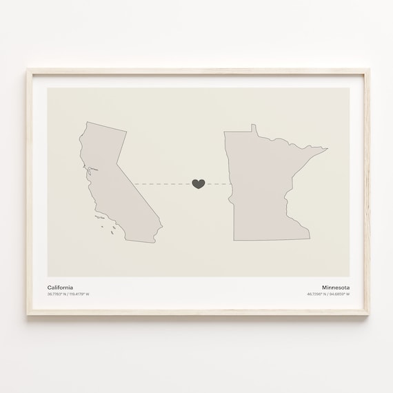
The Value of the Journey Itself
Whether soaring above the clouds or cruising along interstates, the act of traveling from Minnesota to California is an integral part of the overall experience.
- Aerial Perspective: From the window of an airplane, one can witness the country’s vastness, seeing the patchwork of agricultural lands give way to mountains and then the intricate urban sprawl of coastal cities. It’s a reminder of the sheer scale of the landscape.
- Road Trip Immersion: A road trip provides a visceral connection to the land. Each mile brings a subtle shift in scenery, climate, and local culture. Passing through states like Nebraska, Wyoming, or Utah offers glimpses into the heartland, desert vistas, and the majestic Rocky Mountains before reaching the California border. It’s an opportunity for introspection, discovery, and creating lasting memories.
Ultimately, the question of “How far is Minnesota from California?” transcends a simple numerical answer. It’s an invitation to explore, to understand the diverse tapestry of the United States, and to embark on a memorable journey that connects two vibrant and distinct corners of the nation. Whether you choose the speed of flight or the adventure of the open road, the distance is not merely a hurdle, but a pathway to discovery.
LifeOutOfTheBox is a participant in the Amazon Services LLC Associates Program, an affiliate advertising program designed to provide a means for sites to earn advertising fees by advertising and linking to Amazon.com. Amazon, the Amazon logo, AmazonSupply, and the AmazonSupply logo are trademarks of Amazon.com, Inc. or its affiliates. As an Amazon Associate we earn affiliate commissions from qualifying purchases.