
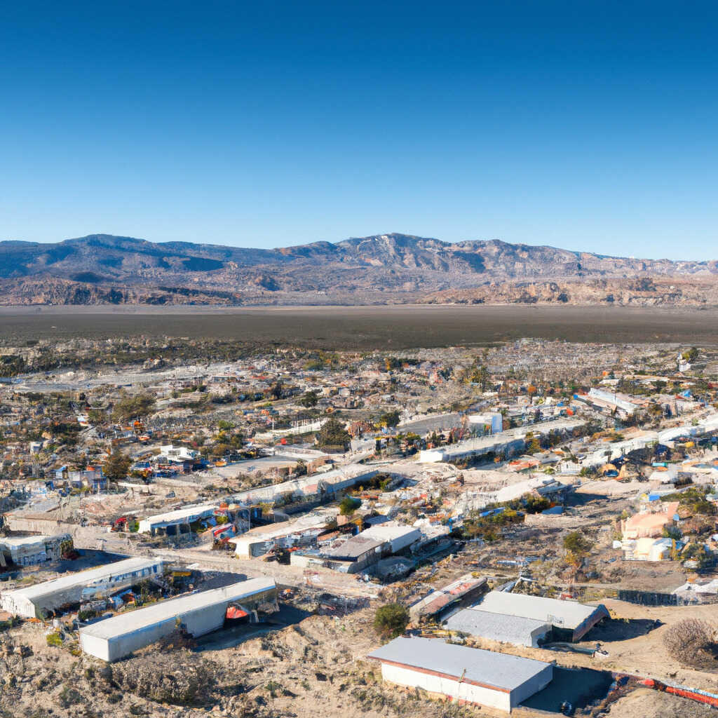
The journey between Lancaster and Los Angeles is a common transit route for both commuters and travelers looking to trade the sprawling urban intensity of the California coast for the high-desert landscapes of the Antelope Valley. Situated roughly 70 miles north of downtown Los Angeles County, the trip is more than just a matter of mileage; it is a transition through varying climates, topographies, and regional cultures. Whether you are navigating the mountain passes for business or pleasure, understanding the logistics of this route is essential for a seamless travel experience.

Navigating the Geography: The Route from High Desert to Coast
The distance between these two cities typically ranges from 65 to 80 miles, depending on your starting point in the vast expanse of the Los Angeles basin and your specific destination within the northern city limits of Lancaster.
The Primary Arteries
The most frequent way to travel between these two points is by vehicle, primarily using Interstate 5 and State Route 14. State Route 14, also known as the Antelope Valley Freeway, serves as the lifeline connecting the desert plateau to the northern suburbs of the greater metropolitan area.
Drivers usually head north on Interstate 5 through Santa Clarita before transitioning onto State Route 14 at the Newhall Pass. This route winds through the rugged terrain of the San Gabriel Mountains, offering dramatic vistas that serve as a stark contrast to the flat, industrial, or coastal scenes found in Southern California.
Travel Times and Traffic Considerations
While the distance might seem manageable on a map, the travel time is heavily dictated by traffic patterns. Under ideal, light-traffic conditions—such as during mid-day or late at night—the journey can take approximately 75 to 90 minutes. However, during the standard Southern California morning and evening rush hours, the “commuter crush” can easily extend this drive to two hours or more. The bottleneck at the Newhall Pass is notoriously congested, as thousands of desert residents head into the city for work, and urban dwellers head out for the weekend.
Public Transportation Alternatives
For those who prefer not to drive, there are reliable public transit options that bridge the gap between the desert and the city. These services are popular for daily commuters and those looking to avoid the stress of Interstate 5 traffic.
Metrolink: The Rails of the Antelope Valley
The Metrolink Antelope Valley Line provides a direct rail connection from Lancaster Station to Union Station in Downtown Los Angeles. The train journey takes approximately two hours, providing a consistent and predictable travel time that is largely immune to the unpredictable gridlock on the freeways. For many, the train is not just a mode of transport but a productive space where one can read, work, or simply enjoy the landscape transitioning from the desert brush to the urban architecture of the city.
Connecting Through Los Angeles
Once arriving at Union Station, travelers have access to the entire Metro Rail network, making it easy to reach coastal destinations like Santa Monica, Hollywood, or Long Beach. This hub-and-spoke model makes the trek from Lancaster to any point in the greater region quite accessible, provided you plan your schedule around the train departure times.
Maximizing the Experience: A Traveler’s Perspective
Traveling between these two locations offers a unique look at the diversity of California. Many who make the trip find value in the distinct experiences each side of the San Gabriel Mountains provides.
The Contrast of Landscapes
When traveling north, you leave the urban heat island of Los Angeles and ascend into the crisp, high-altitude environment of the Antelope Valley. This area is famous for the Antelope Valley California Poppy Reserve, a stunning destination that blooms in vibrant orange during the spring. This contrast is part of the travel experience; one moment you are surrounded by the dense architectural density of the city, and the next, you are surrounded by vast, open desert vistas.
Tips for a Smooth Trip
- Check Traffic Reports: Before departing, utilize apps like Waze or Google Maps. A small delay on State Route 14 can cascade, so knowing if an accident has occurred near Palmdale or Santa Clarita can save you thirty minutes.
- Consider Off-Peak Hours: If your schedule allows, traveling between 10:00 AM and 2:00 PM or after 7:00 PM will significantly reduce your time on the road.
- Preparedness: Because the route involves mountain passes, weather can change quickly. During winter months, occasional snow or icy conditions can occur in the higher elevations near Acton, so ensure your vehicle is maintained for varying conditions.
- Hydration and Fuel: When traveling in the desert, always ensure your fuel tank is at least half full. While the route is well-traveled, gas stations are less frequent once you leave the suburban sprawl.
Embracing the Journey
The distance between these two cities represents the fascinating duality of the region. Lancaster offers an affordable, spacious lifestyle with proximity to incredible natural wonders, while Los Angeles remains the world’s cultural and industrial capital. By understanding the transit routes, the benefits of the Metrolink, and the timing of the local traffic flow, any traveler can move between these two distinct hubs with ease and confidence. Whether you are driving through the mountain passes or watching the desert landscape fly by from a train window, the journey is an essential part of the Southern California experience. Understanding the logistics ensures that you spend less time planning and more time enjoying the unique sights that both these destinations have to offer.
LifeOutOfTheBox is a participant in the Amazon Services LLC Associates Program, an affiliate advertising program designed to provide a means for sites to earn advertising fees by advertising and linking to Amazon.com. Amazon, the Amazon logo, AmazonSupply, and the AmazonSupply logo are trademarks of Amazon.com, Inc. or its affiliates. As an Amazon Associate we earn affiliate commissions from qualifying purchases.