
Planning a trip between New York and Pittsburgh, Pennsylvania, requires a clear understanding of the geography separating these two iconic American hubs. While they are both situated in the Northeast, their characters are worlds apart. Whether you are seeking the high-octane energy of the “Big Apple” or the industrial-turned-tech charm of the “Steel City,” knowing the distance—and how to bridge it—is the first step toward a seamless journey.
Understanding the Geographical Distance
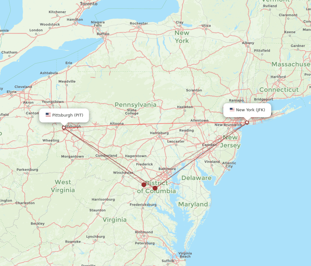
The distance between New York City and Pittsburgh depends largely on your chosen mode of transportation and the specific route you take. In a straight line, the cities are approximately 300 miles apart. However, ground travel is rarely a straight line. By car, you are typically looking at a journey of roughly 370 to 400 miles.
Road Travel and Route Options
Most travelers driving between these two cities will utilize the Interstate 80 or Interstate 76 corridors. The drive generally takes between six and seven hours, depending on traffic conditions, particularly when departing from the dense urban congestion of the New York metropolitan area.
Driving offers the most flexibility. It allows travelers to stop in scenic locations throughout Pennsylvania, such as the Poconos or the historic town of State College. However, drivers should be mindful of toll roads like the Pennsylvania Turnpike, which can add a significant cost to the trip depending on your vehicle and exit point.

Air Travel: Efficiency vs. Convenience
For those who prefer to minimize travel time, flying is the most efficient option. Direct flights from John F. Kennedy International Airport or LaGuardia Airport to Pittsburgh International Airport take approximately 90 minutes in the air.
While the flight duration is short, one must account for the time spent navigating security and traveling to and from the airports. In New York, the transit time to the airport can sometimes rival the length of the flight itself. For business travelers or those with tight schedules, flying remains the gold standard, but for the average tourist, the cost-benefit analysis often leans toward ground transport.

Rail and Bus Connectivity
For many travelers, the most relaxed way to cover the distance is by utilizing public transportation. The Amtrak train service, specifically the Pennsylvanian line, offers a scenic route that connects New York Penn Station to Pittsburgh Union Station.
The Experience of Rail Travel
Traveling by train from the heart of Manhattan to the heart of downtown Pittsburgh provides a unique perspective on the Appalachian Mountains. This route is celebrated for its views, particularly as the train winds through the Horseshoe Curve near Altoona. While the journey can take upwards of nine hours, it offers a level of comfort—spacious seating, Wi-Fi, and the ability to move around—that is simply impossible in a car or a cramped plane cabin.
Intercity Bus Services
Budget-conscious travelers often opt for bus services such as Greyhound or Megabus. These services run daily routes between New York and Pittsburgh. While they are generally the most affordable option, they are subject to the same traffic delays as private vehicles and lack the amenities of rail travel. However, they remain a reliable, high-frequency choice for students and weekend travelers.
Comparing Transit Modes
When deciding how to bridge the gap between these two cities, it is essential to weigh the trade-offs between cost, time, and comfort.
- Speed: Flying is the fastest, but not always the most convenient when accounting for ground transit.
- Cost: Bus travel is typically the cheapest, followed by driving, then rail and air travel.
- Comfort: Rail travel provides the best balance of relaxation and productivity, especially for those who wish to work or read during the trip.
- Flexibility: Driving remains the best option for those who want to visit surrounding areas like The Berkshires or Lake Erie on their way to or from Pittsburgh.
Planning Your Arrival
Once you have navigated the distance, arriving in your destination requires a plan for local mobility. Pittsburgh is a city of neighborhoods and bridges. While it has a robust Port Authority of Allegheny County transit system, having a car is often preferred by those visiting the surrounding Southwestern Pennsylvania region.
Conversely, New York City is best navigated via the Metropolitan Transportation Authority. If you are driving into the city from Pittsburgh, consider parking your car at a long-term garage on the outskirts of New Jersey and taking the PATH train into the city to avoid the notorious Manhattan traffic and expensive parking fees.
Regardless of how you choose to travel, the journey between these two hubs is an excellent way to see the diverse landscape of the Mid-Atlantic region. From the towering skyscrapers of New York to the rolling hills and river valleys that characterize Pittsburgh, the trip is an adventure in itself. By selecting the method that best aligns with your personal travel style—whether that is the speed of flight, the scenic pace of rail, or the autonomy of a road trip—you can ensure your transit is as enjoyable as the time you spend at your destination. Always check for seasonal traffic patterns, especially during the winter months, as mountain passes in Pennsylvania can experience significant weather delays. With proper preparation, the roughly 400-mile journey becomes a simple bridge between two of the most vibrant urban landscapes in the United States.
LifeOutOfTheBox is a participant in the Amazon Services LLC Associates Program, an affiliate advertising program designed to provide a means for sites to earn advertising fees by advertising and linking to Amazon.com. Amazon, the Amazon logo, AmazonSupply, and the AmazonSupply logo are trademarks of Amazon.com, Inc. or its affiliates. As an Amazon Associate we earn affiliate commissions from qualifying purchases.