
The Golden State, a land of diverse landscapes and vibrant culture, is also famously situated along the Pacific Ring of Fire. This geological reality means that California is no stranger to seismic activity. For residents and visitors alike, understanding the potential for earthquakes and knowing how to stay informed is paramount. While the notion of a “predicted” earthquake remains a scientific aspiration, current technology and preparedness strategies allow us to monitor seismic events in real-time and foster a culture of resilience. This guide delves into the current seismic landscape of California, offering insights into how to stay informed and prepared for any seismic activity.

Understanding California’s Seismic Landscape
California’s position on the edge of the North American and Pacific tectonic plates makes it a hotbed for geological phenomena. The San Andreas Fault, a colossal transform fault that runs for hundreds of miles through the state, is the most prominent feature driving much of this activity. It’s a constant reminder of the dynamic forces shaping our planet. However, the seismic landscape is far more complex, involving numerous smaller faults and fault systems that contribute to the state’s overall seismic risk.
The Science Behind Seismic Activity
Earthquakes occur when stress builds up along fault lines, eventually causing the rocks to slip or rupture. This sudden release of energy propagates as seismic waves, which we experience as ground shaking. While scientists can identify fault lines and understand the mechanics of earthquakes, predicting the exact time, location, and magnitude of a future event remains an elusive goal. The focus, therefore, is on rapid detection, real-time monitoring, and robust preparedness.
Faults to Watch
Beyond the renowned San Andreas Fault, several other significant fault systems contribute to California‘s seismic profile. These include:
- The Garlock Fault
- The Hayward Fault
- The San Jacinto Fault
- The Elsinore Fault
Each of these, and many more, possess the potential to generate significant seismic events. Understanding the historical activity and geological characteristics of these faults helps seismologists assess regional seismic hazards.
Staying Informed: Real-Time Earthquake Monitoring
In California, the ability to receive immediate alerts and access up-to-the-minute information about seismic events is crucial. Several reliable sources provide this vital data, empowering individuals and emergency services to respond effectively.
The United States Geological Survey (USGS)
The United States Geological Survey is the primary federal agency responsible for monitoring earthquakes in the United States. Their advanced seismic networks continuously collect data, allowing for rapid identification and reporting of earthquakes across the globe, including California.
- Earthquake Magnitude and Location: The USGS provides real-time data on earthquake magnitude (how strong the earthquake is) and its epicenter (the point on the Earth’s surface directly above where the earthquake originated). This information is critical for assessing the potential impact.
- ShakeMaps: After an earthquake, the USGS generates ShakeMaps, which illustrate the intensity of ground shaking experienced across a region. These maps are invaluable for emergency responders to understand where the most severe shaking occurred and direct resources accordingly.
MyShake and ShakeAlert®
California is at the forefront of earthquake early warning systems.
- MyShake App: Developed by the University of California, Berkeley, the MyShake app provides personalized earthquake alerts. Users can receive notifications seconds before the shaking arrives, giving them precious time to take protective actions. The app also offers educational resources and a platform for citizens to report earthquake intensity.
- ShakeAlert® System: This is a collaborative effort involving the USGS, California Institute of Technology, the University of Washington, and Oregon State University. ShakeAlert® detects an earthquake shortly after it begins and can provide alerts to areas potentially affected by significant shaking. These alerts are delivered through various channels, including mobile apps like MyShake and wirelessly through Wireless Emergency Alerts (WEA) on mobile phones. The warning time can range from a few seconds to tens of seconds, depending on the distance from the earthquake’s origin.
Local Emergency Services and Media
Local emergency management agencies, such as California‘s Office of Emergency Services (CalOES), play a critical role in disseminating information and coordinating response efforts. Local news outlets also serve as important channels for immediate updates and official guidance during and after seismic events.
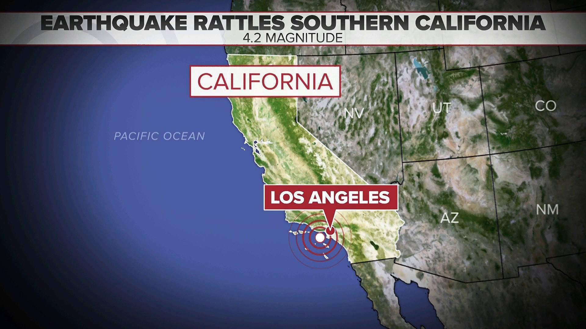
What to Do When an Earthquake Strikes
Knowing what to do during an earthquake is as important as knowing when one might occur. The universally recommended action is “Drop, Cover, and Hold On.”
Drop, Cover, and Hold On
- Drop: Immediately drop down onto your hands and knees before the earthquake makes you fall. This position protects your head and neck from falling debris.
- Cover: Crawl under a sturdy piece of furniture, such as a table or desk, to shield yourself from falling objects. If no furniture is available, cover your head and neck with your arms.
- Hold On: Hold on to your shelter (the furniture) and be prepared to move with it as the earthquake shakes. Stay in this protective position until the shaking stops.
If You Are Outdoors
If you are outside when an earthquake strikes, move to an open area away from buildings, trees, streetlights, and utility wires.
If You Are in Bed
If you are in bed, stay there and cover your head with a pillow. You are most likely to be injured by falling objects if you try to move around.
After the Shaking Stops
Once the shaking has ceased, assess your surroundings for hazards. Be aware of potential aftershocks, which can be strong enough to cause further damage. If you are in a building, check for damage before attempting to leave. If you suspect structural damage, evacuate cautiously.
Preparing for the Next Seismic Event
Proactive preparation is key to mitigating the impact of earthquakes. California has a strong emphasis on preparedness, and individuals can take several steps to enhance their safety.
Build an Emergency Kit
A well-stocked emergency kit can provide essential supplies for survival in the immediate aftermath of an earthquake, especially if you are without power or access to essential services. Your kit should include:
- Water (one gallon per person per day for several days)
- Food (a several-day supply of non-perishable items)
- A flashlight and extra batteries
- A first aid kit
- A multi-tool
- A whistle to signal for help
- Dust masks to help filter contaminated air
- Plastic sheeting and duct tape to shelter-in-place
- Moist towelettes, garbage bags, and plastic ties for personal sanitation
- A wrench or pliers to turn off utilities
- A manual can opener for food
- Local maps
- A cell phone with chargers and a backup battery
- Prescription medications and glasses
Develop a Family Emergency Plan
Discuss with your family what to do during and after an earthquake. Identify safe places in your home and neighborhood. Establish an out-of-state contact person who all family members can check in with. Practice your family emergency plan regularly.
Secure Your Home
- Furniture: Bolt bookcases, cabinets, and other tall furniture to wall studs.
- Appliances: Secure appliances like water heaters and refrigerators.
- Hanging Objects: Use closed hooks for hanging pictures and mirrors.
- Utilities: Learn how to shut off water, gas, and electricity. If you smell gas or suspect a gas leak, shut off the main gas valve if you know how, and leave the building immediately.

The Bigger Picture: Resilience in the Golden State
While the question “Is there an earthquake today in California?” is a natural one given the state’s geology, it’s important to shift the focus from prediction to preparedness and real-time awareness. California’s ongoing investment in seismic monitoring, early warning systems, and public education is a testament to its commitment to building a resilient society. By understanding the seismic landscape, staying informed through reliable sources, and taking proactive steps to prepare, residents and visitors can navigate the inherent risks and continue to enjoy the unparalleled beauty and opportunities that the Golden State offers. The geological forces at play are constant, but our ability to understand, anticipate, and respond is continuously improving, fostering a safer California for all.
LifeOutOfTheBox is a participant in the Amazon Services LLC Associates Program, an affiliate advertising program designed to provide a means for sites to earn advertising fees by advertising and linking to Amazon.com. Amazon, the Amazon logo, AmazonSupply, and the AmazonSupply logo are trademarks of Amazon.com, Inc. or its affiliates. As an Amazon Associate we earn affiliate commissions from qualifying purchases.