
The transition from the sun-drenched coastal plains of Southern California to the alpine heights of the San Bernardino Mountains is one of the most dramatic geographic shifts in the United States. For residents and visitors of Los Angeles, the question of “how far” is rarely just about mileage; it is about time, elevation, and the psychological shift from urban density to mountain serenity. Big Bear Lake, commonly referred to simply as Big Bear, serves as the premier four-season mountain destination for the region. Understanding the logistics of this journey is essential for any traveler looking to swap the Pacific Ocean breeze for crisp mountain air.
Understanding the Distance and Driving Dynamics
At a glance, the physical distance between Downtown Los Angeles and Big Bear Lake is approximately 100 miles. However, in the context of California travel, mileage is often a secondary concern to the complexities of traffic patterns and topographical changes.
Mileage and General Time Estimates
Depending on your specific starting point within the sprawling Los Angeles Basin, the distance can fluctuate. If you are departing from Santa Monica, the drive is closer to 120 miles. Conversely, those leaving from Pasadena or the San Gabriel Valley will find themselves approximately 85 to 90 miles away. Under ideal conditions—which usually means late-night or mid-week travel—the drive typically takes about two hours. During peak periods, such as Friday evenings or holiday weekends, this time can easily double.
The Impact of Elevation and Traffic
The most significant factor in the “distance” to Big Bear is the vertical climb. You are traveling from near sea level to an elevation of approximately 6,750 feet. This ascent occurs rapidly over the final 30 miles of the trip. The grade of the roads and the winding nature of the mountain passes mean that even if there are no other cars on the road, your speed will naturally decrease. Furthermore, Los Angeles traffic is legendary, and the bottlenecks at the Interstate 10 and Interstate 210 interchange can add significant time to the journey before you even reach the foothills.
Navigating the Three Primary Routes
There are three main arteries that lead into the San Bernardino National Forest toward Big Bear City. Each offers a distinct travel experience, and the “best” route often depends on current weather conditions and where in the city you are starting.
The Front Way: Highway 330 to Highway 18
Often considered the standard route for travelers coming from Los Angeles or Orange County, this path takes you through San Bernardino and up the mountain via Running Springs. This route is favored for its directness and spectacular views of the Inland Empire below. As you transition from Highway 330 to Highway 18, you will experience the famous Rim of the World Highway. While breathtaking, this route is also the most prone to heavy traffic during ski season and summer holiday weekends.
The Back Way: Highway 38 through Redlands
For those who prefer a more gradual ascent and fewer white-knuckle switchbacks, Highway 38 is the preferred choice. Starting in Redlands, this route winds through the San Gorgonio Wilderness. It is slightly longer in terms of mileage but often takes a similar amount of time because it is less congested. This path is particularly scenic, taking travelers through lush forests and meadows, and it reaches a higher peak elevation at Onyx Summit before descending into the Big Bear Valley.
The High Desert Route: Highway 18 via Lucerne Valley
If the mountain passes are heavy with snow or if you are coming from the Antelope Valley or the northern parts of Los Angeles County, the desert route is a viable alternative. This path involves taking Interstate 15 through the Cajon Pass toward Victorville, then cutting across to Lucerne Valley. The climb up the mountain from the desert side is steep but much shorter in duration than the other two routes. It is often the last road to be affected by snow-related closures, making it a strategic choice during heavy winter storms.
Seasonal Considerations for the Trip
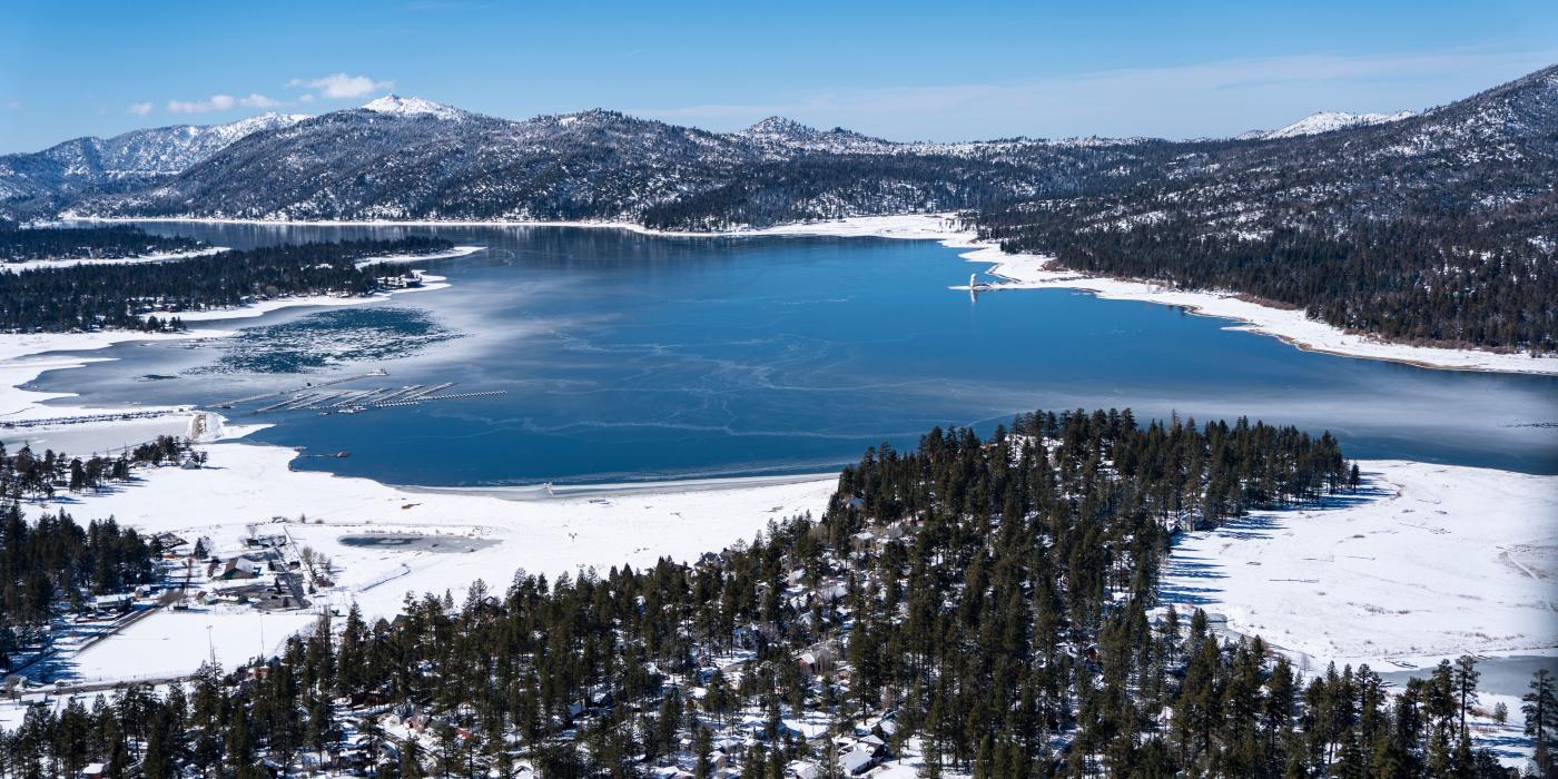
Travel between Los Angeles and the mountains changes drastically with the seasons. A trip that is a breezy summer drive can become a complex logistical operation in the winter.
Winter Travel and Snow Logistics
When the Pacific Northwest sends cold fronts down to California, Big Bear transforms into a winter wonderland. This is the peak season for Big Bear Mountain Resort, which includes both Snow Summit and Bear Mountain. During these months, the California Department of Transportation, or Caltrans, often mandates the use of snow chains. Travelers must be prepared to install chains on their tires, which can add significant time to the journey. It is highly recommended to check the weather via the National Weather Service and road conditions before departing the city.
Summer Escapes and Weekend Volume
In the summer, the “distance” to Big Bear is defined by the heat of the San Fernando Valley versus the cool temperatures of the lake. Thousands of travelers head up the mountain to escape the 100-degree temperatures of the lowlands. Saturday mornings and Sunday afternoons are the busiest times on the roads. To minimize travel time, many seasoned Los Angeles travelers choose to leave before dawn or after 8:00 PM to avoid the heaviest congestion on the mountain highways.
Recommended Points of Interest Along the Route
The travel experience is not just about the destination; it is about the transition. There are several noteworthy stops that can make the drive from Los Angeles to Big Bear feel like part of the vacation.
Exploring the Inland Empire Foothills
As you leave the metro area, the Inland Empire offers a variety of stops. Redlands is a historic city known for its Lincoln Memorial Shrine and charming downtown area. It serves as an excellent place to grab a final meal or stock up on supplies before the final ascent into the wilderness. If you are taking the front way, a quick detour to Lake Arrowhead offers a different mountain vibe, with its private lake and Lake Arrowhead Village shopping center.
Mountain Vista Points and Pullouts
Once you begin the climb on the Rim of the World Highway, there are numerous paved turnouts designed for sightseeing. On a clear day, you can see all the way to Catalina Island and the skyscrapers of Century City. These spots are perfect for photography and for allowing your vehicle’s engine a moment to cool during the steep climb. The Keller Peak Fire Lookout is another nearby attraction that offers panoramic views of the entire San Bernardino National Forest.
Planning Your Arrival in Big Bear Valley
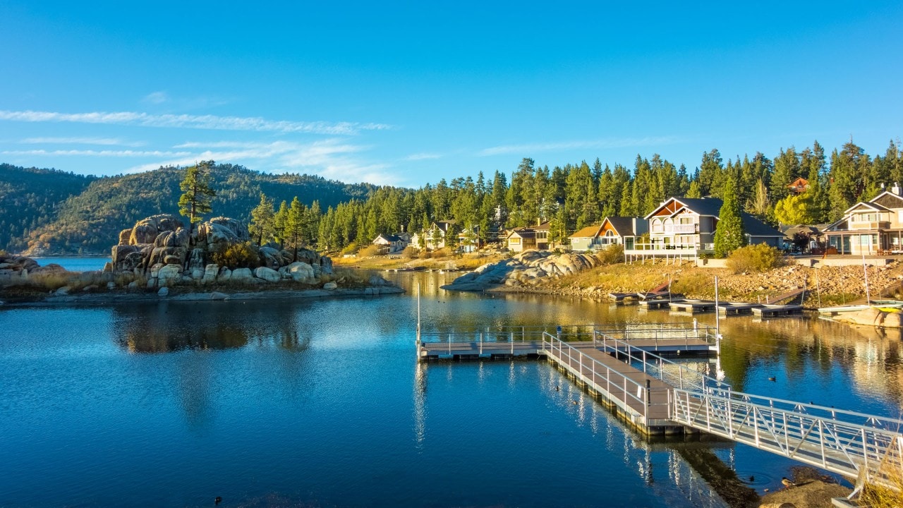
Once you have successfully navigated the mountain roads, the entrance into the Big Bear Valley is a rewarding moment. The landscape opens up to reveal the shimmering waters of Big Bear Lake, surrounded by towering pines and granite boulders.
Reaching The Village
The heart of the town is The Village, a pedestrian-friendly district filled with shops, galleries, and restaurants. Depending on your route, you will likely enter the valley from the west (Highway 18) or the east (Highway 38). Reaching The Village marks the official end of your travel from the city. Here, the pace of life slows significantly compared to the frantic energy of Los Angeles.

Final Logistics and Local Navigation
While Big Bear is a mountain community, it is well-equipped for travelers. The Mountain Transit system provides local bus service, which is particularly useful during the winter to avoid the hassle of parking at the ski resorts. For those who have driven up, ensure your vehicle is prepared for mountain conditions; even in the spring and fall, temperatures can drop below freezing overnight, which is a stark contrast to the climate in Santa Monica or Long Beach.
In summary, while the physical distance from Los Angeles to Big Bear is only 100 miles, the journey is an immersive travel experience that spans multiple ecosystems and climates. Whether you are seeking the thrill of Snow Summit or a quiet retreat in the San Bernardino National Forest, the drive is the first chapter of your mountain adventure. By choosing the right route and timing your departure, the “distance” becomes a scenic prelude to one of the most beautiful destinations in California.
LifeOutOfTheBox is a participant in the Amazon Services LLC Associates Program, an affiliate advertising program designed to provide a means for sites to earn advertising fees by advertising and linking to Amazon.com. Amazon, the Amazon logo, AmazonSupply, and the AmazonSupply logo are trademarks of Amazon.com, Inc. or its affiliates. As an Amazon Associate we earn affiliate commissions from qualifying purchases.