
Navigating Kansas Congressional and Legislative Districts
Understanding your political geography is a fundamental part of civic engagement, whether you are preparing to vote in upcoming elections, researching local policy changes, or planning to contact your elected representatives. For residents and visitors interested in the administrative layout of the sunflower state, answering the question of which district you belong to involves looking at several layers of government. From the federal congressional map to state senate and house districts, Kansas is carefully divided to ensure constituent representation across its sprawling rural landscapes and vibrant urban centers.
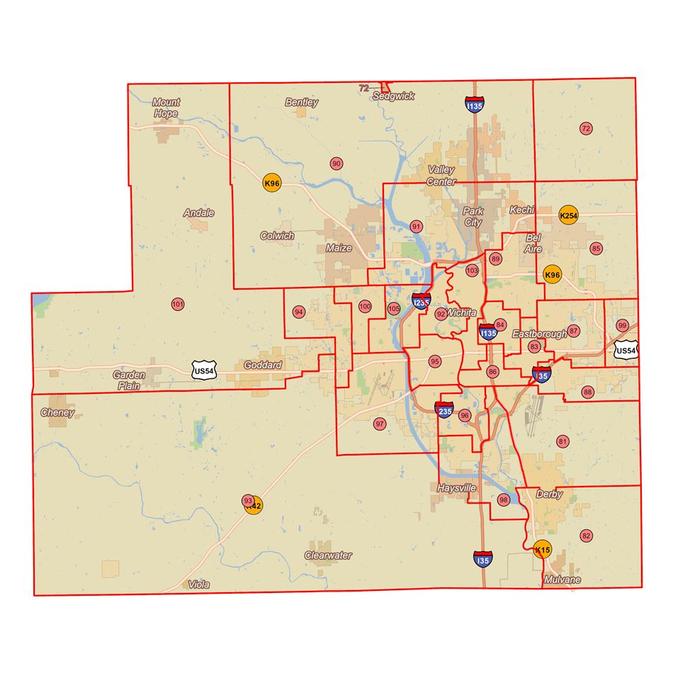
The Federal Congressional Map
At the federal level, Kansas is divided into four distinct United States congressional districts. Each of these districts elects one representative to serve in the U.S. House of Representatives in Washington D.C.. Because congressional boundaries are redrawn every ten years following the national census to reflect population shifts, staying up to date on your specific district is essential.
- The 1st Congressional District: Often referred to as the “Big First,” this massive district covers a vast western and central portion of Kansas, including major agricultural hubs like Dodge City and Manhattan. It is characterized by its agricultural strength and wide-open plains.
- The 2nd Congressional District: Stretching across eastern Kansas, this district encompasses the state capital of Topeka, as well as historic cities like Lawrence. It balances rural communities with academic and governmental centers.
- The 3rd Congressional District: Geographically smaller but densely populated, the 3rd district primarily covers the Kansas City metropolitan area within Kansas, including Overland Park. It is a major economic engine for the region.
- The 4th Congressional District: Centered primarily around Wichita, the state’s largest city, this district includes south-central Kansas and is historically known for its aviation industry and manufacturing prowess.
State-Level Representation: Senate and House
Beyond federal representation, your daily life and state laws are heavily influenced by your specific state legislative districts. Kansas operates under a bicameral legislature consisting of a state Senate and a state House of Representatives.
The state is divided into 40 Senate districts and 125 House districts. Each Senate district encompasses three House districts, creating a nested system of representation. State senators serve four-year staggered terms, while state representatives face election every two years. Knowing your state legislative district allows you to track bills related to education funding, state taxation, and local infrastructure that directly impact your neighborhood.
Tools and Methods to Find Your Exact District
Because district lines often run down specific streets, neighborhood boundaries, or county lines, determining your precise district requires more than just knowing your city or zip code. Fortunately, several official resources make this process straightforward and accessible.
Utilizing Online Voter Portals

The most accurate and reliable way to discover your specific district is through official government websites.
- Secretary of State Website: The official Kansas Secretary of State office provides an online voter view tool. By entering your residential address, name, and date of birth, you can instantly pull up your voter registration details, which include your specific federal, state, and local districts.
- County Election Offices: If you prefer a direct approach, contacting your local county clerk or election office will yield precise results. Counties in Kansas maintain comprehensive geographic information systems (GIS) mapped down to individual parcel numbers.
Interactive GIS Mapping Tools
For those who enjoy visualizing geographic data, interactive mapping tools provided by the Kansas Legislature offer detailed overlays of every district boundary.
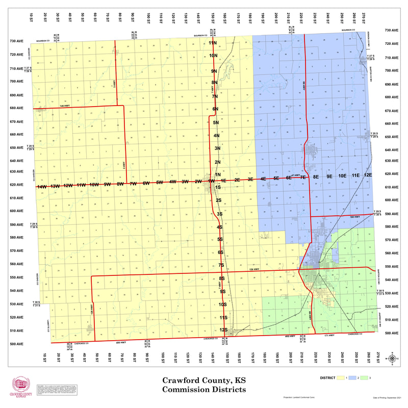
- Boundary Map Viewers: These digital maps allow users to type in a specific street address and zoom in on an aerial view. You can toggle between layers to see congressional boundaries, state senate districts, state house districts, and even local school board or county commissioner districts.
- Precinct-Level Detail: Understanding your voting precinct is often the key to unlocking your broader district information. Polling places in Kansas are organized by precinct, and your precinct assignment automatically dictates which ballot you receive on election day.
Why Knowing Your District Matters
Understanding the political and geographic boundaries of where you live goes far beyond satisfying idle curiosity. It is a vital tool for effective citizenship and community involvement.
Empowering Your Vote and Voice
When you know the exact district you reside in, you can become a more informed and impactful participant in the democratic process.
- Targeted Advocacy: When local issues arise—such as road maintenance, public school funding, or zoning laws—knowing your exact state representative and senator ensures that your emails, phone calls, and letters reach the right desk. Legislators are primarily accountable to the registered voters residing within their specific district boundaries.
- Informed Elections: District-specific research allows you to examine candidate platforms, attend local town halls, and review campaign debates that are directly relevant to your community’s unique needs. Voters in Wichita face very different economic priorities than those in rural western Kansas, making localized knowledge indispensable.
Tracking Legislative Changes
Political boundaries are not permanent. Following every decennial census, redistricting processes can shift your neighborhood into an entirely new district. Staying informed about redistricting commissions, public hearings, and proposed map changes ensures you are never caught off guard come election season.
By taking a few moments to look up your address using official state portals, you can map out your civic landscape with confidence. Whether you are advocating for policy change or simply casting your ballot, knowing the answer to “What Kansas district am I in?” is the first step toward meaningful civic participation.
LifeOutOfTheBox is a participant in the Amazon Services LLC Associates Program, an affiliate advertising program designed to provide a means for sites to earn advertising fees by advertising and linking to Amazon.com. Amazon, the Amazon logo, AmazonSupply, and the AmazonSupply logo are trademarks of Amazon.com, Inc. or its affiliates. As an Amazon Associate we earn affiliate commissions from qualifying purchases.